Mouscron night lights from space
Night Light of Mouscron (Wallonia) from space (Belgium) Src. Average luminocity for 10x10km area is 85.2807% and for 50x50km: 45.5563%.
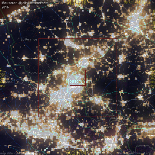
Analysis of Mouscron night lights 2016
Square area 10x10 km:
 39.57%
90-99
18.58%80-89
7.49%70-79
9.63%60-69
12.83%50-59
6.82%40-49
3.34%30-39
1.74%20-29
0%10-19
0%0-9
0%Square area 50x50 km:
10.87%90-99
8.5%80-89
4.01%70-79
4.9%60-69
6.12%50-59
6.94%40-49
6.88%30-39
8.12%20-29
12.95%10-19
14.13%0-9
16.58%Clear (daylight) street map image can be seen on geolist.org.
Map coordinates:
51° 11' 16" North, 2° 30' 11.8" East
50° 44' 41.9" North, 3° 12' 23" East
50° 17' 52.6" North, 3° 54' 34.3" East
Some cities around Mouscron sort by population:
• Roubaix, FR
6.1 km =3.8 mi,  201°
201°
• Tourcoing, FR
4 km =2.5 mi,  233°
233°
• Wattrelos, FR
4.9 km =3 mi,  170°
170°
• Wevelgem
6.7 km =4.2 mi,  335°
335°
• Roncq, FR
6.1 km =3.8 mi,  278°
278°
• Mouvaux, FR
7.2 km =4.5 mi, 225°
• Neuville-en-Ferrain, FR
3.5 km =2.2 mi, 276°
• Estaimpuis
6.2 km =3.9 mi,  135°
135°
2790595 (p: 52,069)
Sources (retrieved 2019-11-25):
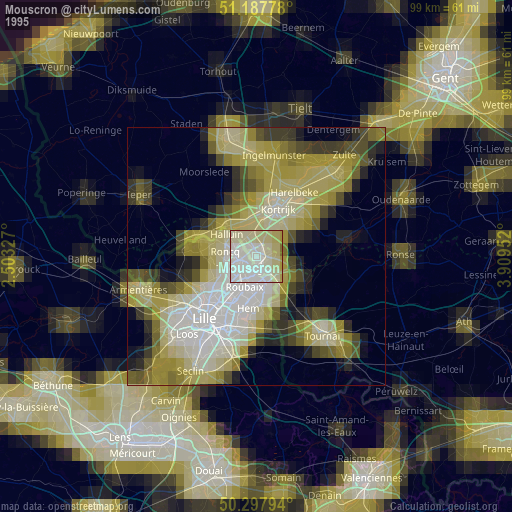
» NASA, Earths city lights 1995
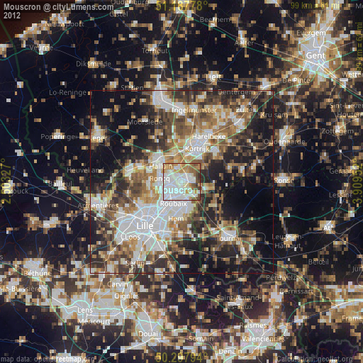
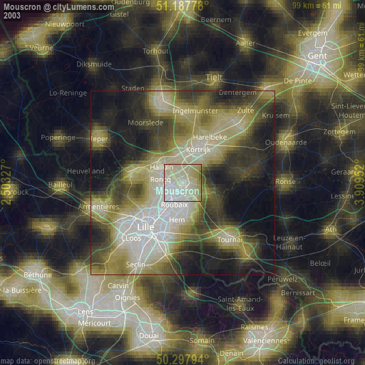
» NASA city lights 2003
» Earth at Night: Flat Maps 2012, 2016