Roubaix night lights from space
Night Light of Roubaix (Hauts-de-France) from space (France) Src. Average luminocity for 10x10km area is 96.6484% and for 50x50km: 46.2259%.
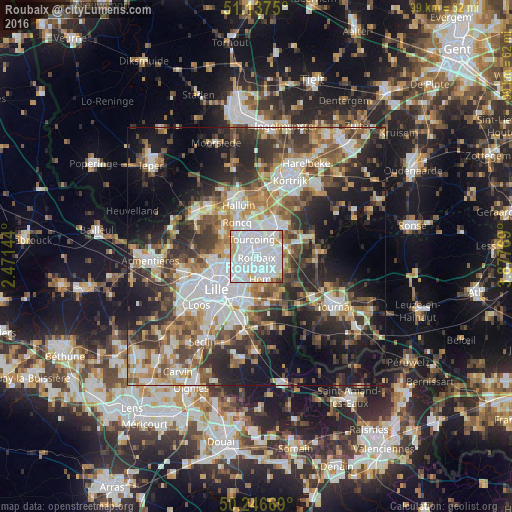
Analysis of Roubaix night lights 2016
Square area 10x10 km:
 69.79%
90-99
18.85%80-89
4.55%70-79
4.01%60-69
1.6%50-59
0.27%40-49
0.8%30-39
0.13%20-29
0%10-19
0%0-9
0%Square area 50x50 km:
10.83%90-99
8.59%80-89
4.17%70-79
5.48%60-69
6.45%50-59
7.02%40-49
6.9%30-39
7.75%20-29
11.72%10-19
16.1%0-9
14.99%Clear (daylight) street map image can be seen on geolist.org.
Map coordinates:
51° 8' 15" North, 2° 28' 17.2" East
50° 41' 39.2" North, 3° 10' 28.4" East
50° 14' 48.1" North, 3° 52' 39.7" East
Some cities around Roubaix sort by population:
• Tourcoing
3.4 km =2.1 mi,  344°
344°
• Wattrelos
3.2 km =2 mi,  75°
75°
• Croix
2.5 km =1.6 mi,  225°
225°
• Hem
4.7 km =2.9 mi,  169°
169°
• Wasquehal
3.9 km =2.4 mi, 227°
• Lys-lez-Lannoy
4.3 km =2.7 mi,  135°
135°
• Mouvaux
2.9 km =1.8 mi,  281°
281°
• Leers
5.1 km =3.2 mi,  105°
105°
2982681 (p: 95,721)
Sources (retrieved 2019-11-25):
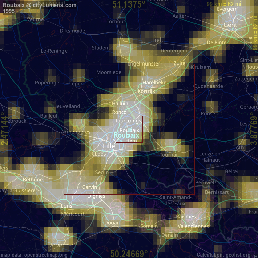
» NASA, Earths city lights 1995
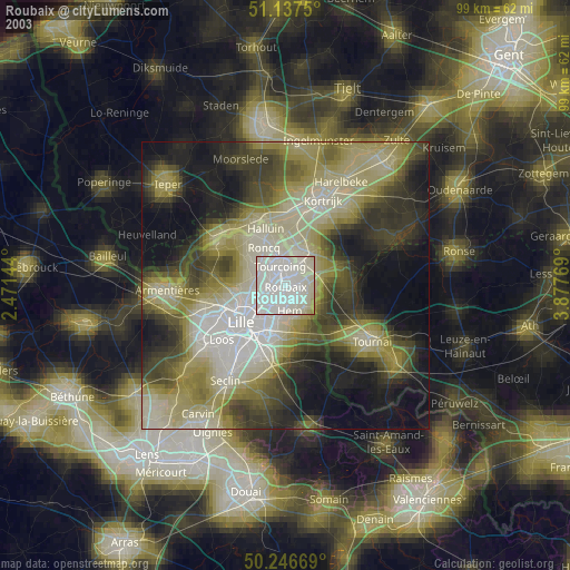
» NASA city lights 2003
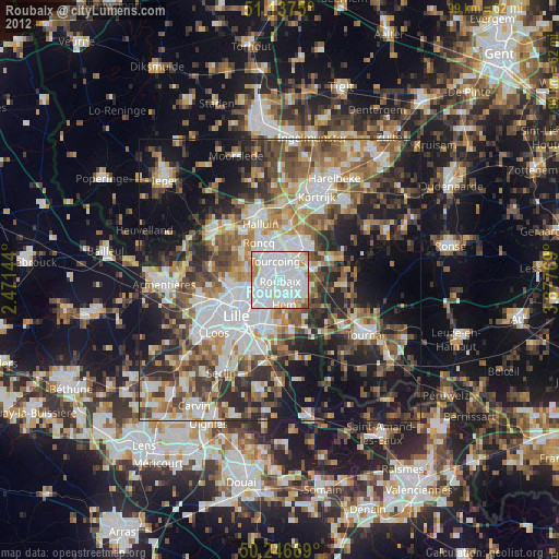
» Earth at Night: Flat Maps 2012, 2016