Joinville-le-Pont night lights from space
Night Light of Joinville-le-Pont (Île-de-France) from space (France) Src. Average luminocity for 10x10km area is 99.2415% and for 50x50km: 71.9815%.
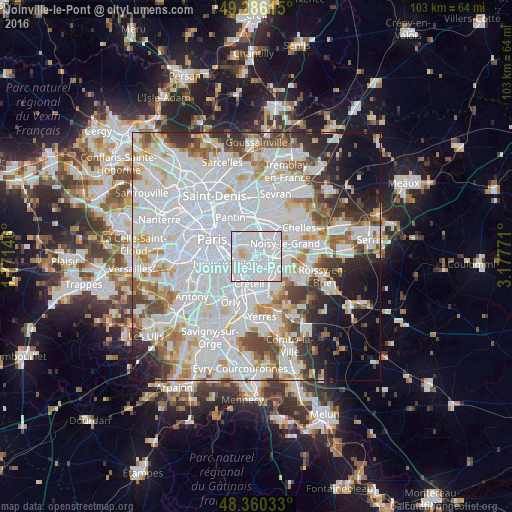
Analysis of Joinville-le-Pont night lights 2016
Square area 10x10 km:
 78.98%
90-99
18.18%80-89
2.56%70-79
0.28%60-69
0%50-59
0%40-49
0%30-39
0%20-29
0%10-19
0%0-9
0%Square area 50x50 km:
35.04%90-99
18.13%80-89
4.83%70-79
4.75%60-69
5.04%50-59
4.19%40-49
4.61%30-39
4.27%20-29
5.47%10-19
6.18%0-9
7.49%Clear (daylight) street map image can be seen on geolist.org.
Map coordinates:
49° 17' 10.1" North, 1° 46' 17.3" East
48° 49' 31.4" North, 2° 28' 28.5" East
48° 21' 37.2" North, 3° 10' 39.8" East
Some cities around Joinville-le-Pont sort by population:
• Créteil
3.7 km =2.3 mi,  190°
190°
• Champigny-sur-Marne
1.7 km =1.1 mi,  125°
125°
• Maisons-Alfort
3 km =1.9 mi,  239°
239°
• Fontenay-sous-Bois
3.3 km =2.1 mi,  10°
10°
• Vincennes
3.7 km =2.3 mi,  313°
313°
• Le Perreux-sur-Marne
3.3 km =2.1 mi,  34°
34°
• Nogent-sur-Marne
1.4 km =0.9 mi,  24°
24°
• Saint-Maurice
3.5 km =2.2 mi,  263°
263°
3012313 (p: 18,154)
Sources (retrieved 2019-11-25):
» Earth at Night: Flat Maps 2012, 2016