Nogent-sur-Marne night lights from space
Night Light of Nogent-sur-Marne (Île-de-France) from space (France) Src. Average luminocity for 10x10km area is 99.2131% and for 50x50km: 71.1698%.
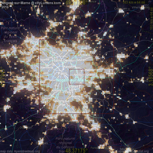
Analysis of Nogent-sur-Marne night lights 2016
Square area 10x10 km:
 77.41%
90-99
19.74%80-89
2.56%70-79
0.28%60-69
0%50-59
0%40-49
0%30-39
0%20-29
0%10-19
0%0-9
0%Square area 50x50 km:
34.65%90-99
17.72%80-89
4.75%70-79
4.62%60-69
4.98%50-59
4.21%40-49
4.53%30-39
4.33%20-29
5.87%10-19
6.58%0-9
7.75%Clear (daylight) street map image can be seen on geolist.org.
Map coordinates:
49° 17' 50.5" North, 1° 46' 45.9" East
48° 50' 12.1" North, 2° 28' 57.2" East
48° 22' 18.3" North, 3° 11' 8.4" East
Some cities around Nogent-sur-Marne sort by population:
• Champigny-sur-Marne
2.4 km =1.5 mi,  160°
160°
• Fontenay-sous-Bois
2 km =1.2 mi,  0°
0°
• Vincennes
3.5 km =2.2 mi,  291°
291°
• Rosny-sous-Bois
3.9 km =2.4 mi,  18°
18°
• Le Perreux-sur-Marne
2 km =1.2 mi,  40°
40°
• Neuilly-Plaisance
3.4 km =2.1 mi,  29°
29°
• Joinville-le-Pont
1.4 km =0.9 mi,  204°
204°
• Bry-sur-Marne
3.1 km =1.9 mi,  87°
87°
2990265 (p: 31,236)
Sources (retrieved 2019-11-25):
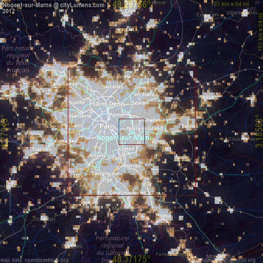
» Earth at Night: Flat Maps 2012, 2016