Fontenay-sous-Bois night lights from space
Night Light of Fontenay-sous-Bois (Île-de-France) from space (France) Src. Average luminocity for 10x10km area is 99.2386% and for 50x50km: 70.3185%.
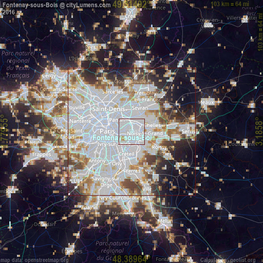
Analysis of Fontenay-sous-Bois night lights 2016
Square area 10x10 km:
 79.12%
90-99
18.04%80-89
2.56%70-79
0.28%60-69
0%50-59
0%40-49
0%30-39
0%20-29
0%10-19
0%0-9
0%Square area 50x50 km:
33.94%90-99
17.19%80-89
4.81%70-79
4.43%60-69
5.04%50-59
4.34%40-49
4.64%30-39
4.55%20-29
6.22%10-19
8.06%0-9
6.79%Clear (daylight) street map image can be seen on geolist.org.
Map coordinates:
49° 18' 53.7" North, 1° 46' 46.4" East
48° 51' 15.9" North, 2° 28' 57.6" East
48° 23' 22.7" North, 3° 11' 8.9" East
Some cities around Fontenay-sous-Bois sort by population:
• Montreuil
3.1 km =1.9 mi,  290°
290°
• Vincennes
3.4 km =2.1 mi,  258°
258°
• Rosny-sous-Bois
2.1 km =1.3 mi,  34°
34°
• Le Perreux-sur-Marne
1.4 km =0.9 mi,  111°
111°
• Nogent-sur-Marne
2 km =1.2 mi,  180°
180°
• Villemomble
3.5 km =2.2 mi,  21°
21°
• Neuilly-Plaisance
2 km =1.2 mi,  59°
59°
• Joinville-le-Pont
3.3 km =2.1 mi,  190°
190°
3017910 (p: 52,075)
Sources (retrieved 2019-11-25):
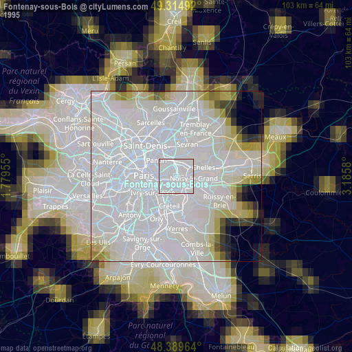
» NASA, Earths city lights 1995
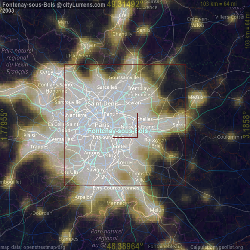
» NASA city lights 2003
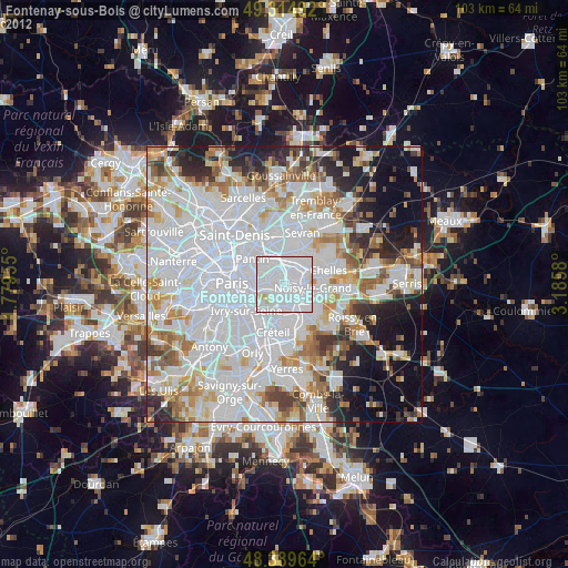
» Earth at Night: Flat Maps 2012, 2016