Bagnolet night lights from space
Night Light of Bagnolet (Île-de-France) from space (France) Src. Average luminocity for 10x10km area is 99.3381% and for 50x50km: 74.0248%.
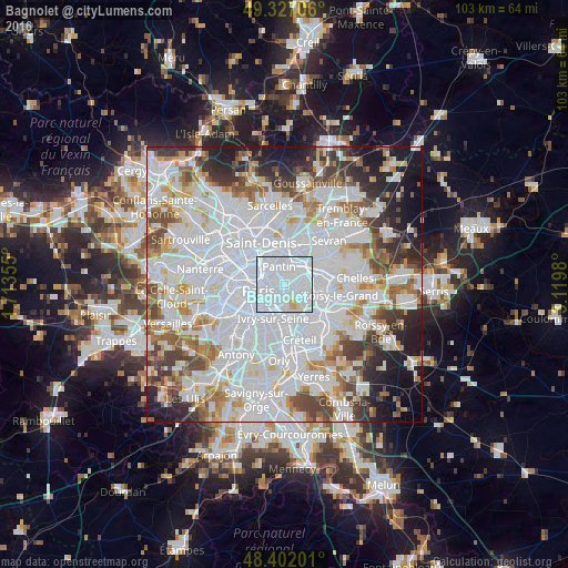
Analysis of Bagnolet night lights 2016
Square area 10x10 km:
 83.24%
90-99
14.2%80-89
2.27%70-79
0.28%60-69
0%50-59
0%40-49
0%30-39
0%20-29
0%10-19
0%0-9
0%Square area 50x50 km:
35.15%90-99
18.3%80-89
5.03%70-79
4.9%60-69
5.72%50-59
4.9%40-49
5.48%30-39
4.84%20-29
6.09%10-19
7.41%0-9
2.16%Clear (daylight) street map image can be seen on geolist.org.
Map coordinates:
49° 19' 37.4" North, 1° 42' 48.8" East
48° 52' 0" North, 2° 25' 0" East
48° 24' 7.2" North, 3° 7' 11.3" East
Some cities around Bagnolet sort by population:
• Montreuil
2 km =1.2 mi,  98°
98°
• Pantin
3.1 km =1.9 mi,  350°
350°
• Vincennes
2.5 km =1.6 mi,  142°
142°
• Noisy-le-Sec
4.5 km =2.8 mi,  51°
51°
• Romainville
2.5 km =1.6 mi,  32°
32°
• Saint-Mandé
3.1 km =1.9 mi,  181°
181°
• Les Lilas
1.5 km =0.9 mi,  10°
10°
• Le Pré-Saint-Gervais
2.3 km =1.4 mi,  336°
336°
3035403 (p: 33,504)
Sources (retrieved 2019-11-25):
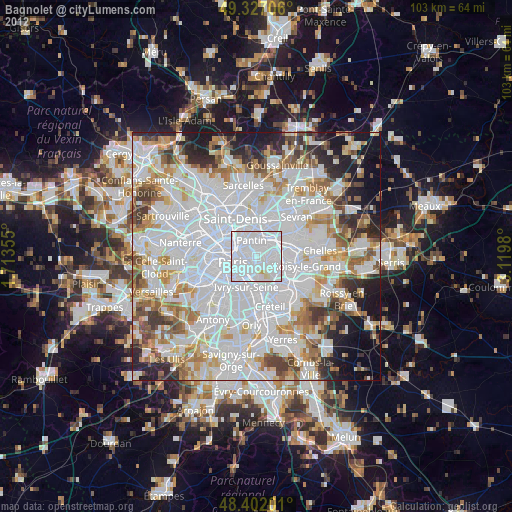
» Earth at Night: Flat Maps 2012, 2016