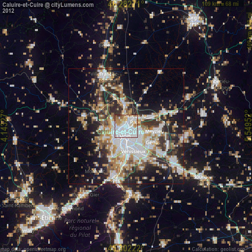
Caluire-et-Cuire night lights from space
Night Light of Caluire-et-Cuire (Auvergne-Rhône-Alpes) from space (France) Src. Average luminocity for 10x10km area is 88.119% and for 50x50km: 35.0152%.
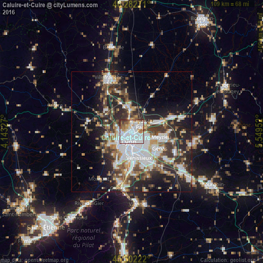
Analysis of Caluire-et-Cuire night lights 2016
Square area 10x10 km:
 48.66%
90-99
21.13%80-89
5.65%70-79
5.06%60-69
5.95%50-59
8.04%40-49
1.64%30-39
3.57%20-29
0.3%10-19
0%0-9
0%Square area 50x50 km:
8.9%90-99
7.25%80-89
2.64%70-79
3.61%60-69
3.83%50-59
4.54%40-49
4.81%30-39
5.9%20-29
10.87%10-19
12.01%0-9
35.65%Clear (daylight) street map image can be seen on geolist.org.
Map coordinates:
46° 16' 57.8" North, 4° 8' 35.8" East
45° 47' 40.6" North, 4° 50' 47" East
45° 18' 8" North, 5° 32' 58.3" East
Some cities around Caluire-et-Cuire sort by population:
• Lyon
5.1 km =3.2 mi,  179°
179°
• Villeurbanne
4.1 km =2.5 mi,  141°
141°
• Vaulx-en-Velin
6.2 km =3.9 mi,  97°
97°
• Rillieux-la-Pape
4.8 km =3 mi,  59°
59°
• Écully
5.8 km =3.6 mi,  247°
247°
• Tassin-la-Demi-Lune
6.3 km =3.9 mi,  225°
225°
• Fontaines-sur-Saône
4.6 km =2.9 mi,  358°
358°
• Champagne-au-Mont-d’Or
4.3 km =2.7 mi,  270°
270°
3029096 (p: 42,763)
Sources (retrieved 2019-11-25):
» Earth at Night: Flat Maps 2012, 2016