Villepinte night lights from space
Night Light of Villepinte (Île-de-France) from space (France) Src. Average luminocity for 10x10km area is 91.4744% and for 50x50km: 57.9374%.

Analysis of Villepinte night lights 2016
Square area 10x10 km:
 49.72%
90-99
22.02%80-89
8.95%70-79
7.1%60-69
8.52%50-59
2.56%40-49
1.14%30-39
0%20-29
0%10-19
0%0-9
0%Square area 50x50 km:
28.38%90-99
12.23%80-89
3.48%70-79
3.15%60-69
3.96%50-59
3.67%40-49
3.51%30-39
4.71%20-29
7.77%10-19
15.19%0-9
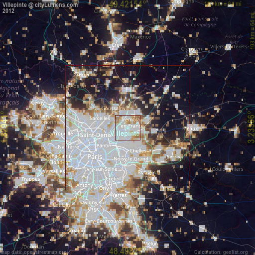
13.95%Clear (daylight) street map image can be seen on geolist.org.
Map coordinates:
49° 25' 17.5" North, 1° 49' 45.9" East
48° 57' 43.3" North, 2° 31' 57.1" East
48° 29' 53.7" North, 3° 14' 8.4" East
Some cities around Villepinte sort by population:
• Aulnay-sous-Bois
3.9 km =2.4 mi,  226°
226°
• Le Blanc-Mesnil
5.8 km =3.6 mi,  243°
243°
• Sevran
2 km =1.2 mi,  190°
190°
• Livry-Gargan
4.8 km =3 mi,  170°
170°
• Tremblay-en-France
3 km =1.9 mi,  117°
117°
• Clichy-sous-Bois
6 km =3.7 mi, 165°
• Les Pavillons-sous-Bois
6.4 km =4 mi,  197°
197°
• Vaujours
4.5 km =2.8 mi,  141°
141°
2968482 (p: 37,114)
Sources (retrieved 2019-11-25):
» Earth at Night: Flat Maps 2012, 2016