Aulnay-sous-Bois night lights from space
Night Light of Aulnay-sous-Bois (Île-de-France) from space (France) Src. Average luminocity for 10x10km area is 97.3324% and for 50x50km: 63.4684%.
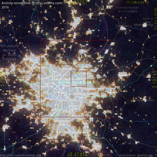
Analysis of Aulnay-sous-Bois night lights 2016
Square area 10x10 km:
 70.17%
90-99
18.47%80-89
5.97%70-79
4.26%60-69
1.14%50-59
0%40-49
0%30-39
0%20-29
0%10-19
0%0-9
0%Square area 50x50 km:
30.66%90-99
14.37%80-89
4.23%70-79
3.76%60-69
4.5%50-59
3.94%40-49
3.76%30-39
4.44%20-29
7.21%10-19
13.91%0-9
9.23%Clear (daylight) street map image can be seen on geolist.org.
Map coordinates:
49° 23' 52.3" North, 1° 47' 27.2" East
48° 56' 17.3" North, 2° 29' 38.5" East
48° 28' 26.9" North, 3° 11' 49.7" East
Some cities around Aulnay-sous-Bois sort by population:
• Drancy
3.8 km =2.4 mi,  248°
248°
• Bondy
4.1 km =2.5 mi,  184°
184°
• Le Blanc-Mesnil
2.4 km =1.5 mi,  271°
271°
• Sevran
2.5 km =1.6 mi,  73°
73°
• Livry-Gargan
4.1 km =2.5 mi,  120°
120°
• Villepinte
3.9 km =2.4 mi,  46°
46°
• Les Pavillons-sous-Bois
3.6 km =2.2 mi,  165°
165°
• Le Bourget
4.3 km =2.7 mi,  263°
263°
3036145 (p: 80,615)
Sources (retrieved 2019-11-25):
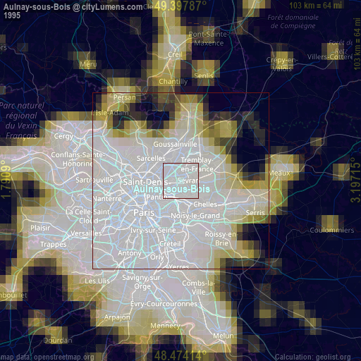
» NASA, Earths city lights 1995
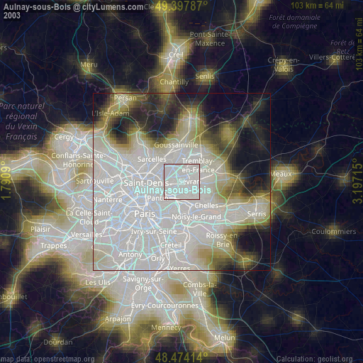
» NASA city lights 2003
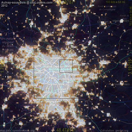
» Earth at Night: Flat Maps 2012, 2016