Villeparisis night lights from space
Night Light of Villeparisis (Île-de-France) from space (France) Src. Average luminocity for 10x10km area is 75.1989% and for 50x50km: 51.991%.
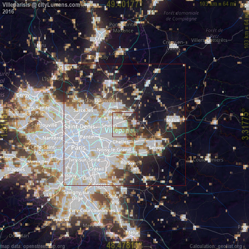
Analysis of Villeparisis night lights 2016
Square area 10x10 km:
 25.43%
90-99
20.6%80-89
7.81%70-79
5.26%60-69
8.38%50-59
10.65%40-49
8.1%30-39
9.94%20-29
3.69%10-19
0.14%0-9
0%Square area 50x50 km:
24.97%90-99
10.76%80-89
3.25%70-79
2.86%60-69
3.55%50-59
3.43%40-49
3.32%30-39
4.15%20-29
6.94%10-19
15.7%0-9
21.09%Clear (daylight) street map image can be seen on geolist.org.
Map coordinates:
49° 24' 6.4" North, 1° 54' 41.4" East
48° 56' 31.5" North, 2° 36' 52.7" East
48° 28' 41.2" North, 3° 19' 3.9" East
Some cities around Villeparisis sort by population:
• Livry-Gargan
5.8 km =3.6 mi,  244°
244°
• Tremblay-en-France
3.5 km =2.2 mi,  283°
283°
• Clichy-sous-Bois
5.7 km =3.5 mi,  231°
231°
• Montfermeil
5.5 km =3.4 mi,  207°
207°
• Mitry-Mory
4.6 km =2.9 mi,  1°
1°
• Claye-Souilly
5.2 km =3.2 mi,  86°
86°
• Courtry
2.7 km =1.7 mi,  196°
196°
• Vaujours
3.4 km =2.1 mi,  247°
247°
2968496 (p: 23,931)
Sources (retrieved 2019-11-25):
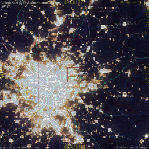
» Earth at Night: Flat Maps 2012, 2016