Soissons night lights from space
Night Light of Soissons (Hauts-de-France) from space (France) Src. Average luminocity for 10x10km area is 36.2447% and for 50x50km: 4.7612%.
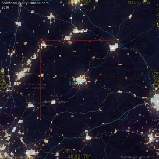
Analysis of Soissons night lights 2016
Square area 10x10 km:
 8.56%
8.56%90-99
8.56%80-89
2.94%70-79
2.54%60-69
3.34%50-59
3.74%40-49
3.21%30-39
2.41%20-29
9.49%10-19
37.3%0-9
17.91%Square area 50x50 km:
0.98%90-99
0.91%80-89
0.26%70-79
0.46%60-69
0.61%50-59
0.35%40-49
0.4%30-39
0.47%20-29
0.75%10-19
4.36%0-9
90.47%Clear (daylight) street map image can be seen on geolist.org.
Map coordinates:
49° 50' 14.2" North, 2° 37' 13.8" East
49° 22' 54" North, 3° 19' 25" East
48° 55' 18.4" North, 4° 1' 36.3" East
Some cities around Soissons sort by population:
• Laon
29.8 km =18.5 mi,  47°
47°
• Crépy-en-Valois
35.6 km =22.1 mi,  242°
242°
• Tergnier
30.6 km =19 mi,  356°
356°
• Noyon
32.4 km =20.1 mi,  313°
313°
• Chauny
27 km =16.8 mi,  343°
343°
• Villers-Cotterêts
22.2 km =13.8 mi,  229°
229°
• Thourotte
33.6 km =20.9 mi,  288°
288°
• Fismes
27.5 km =17.1 mi,  107°
107°
2974389 (p: 31,100)
Sources (retrieved 2019-11-25):
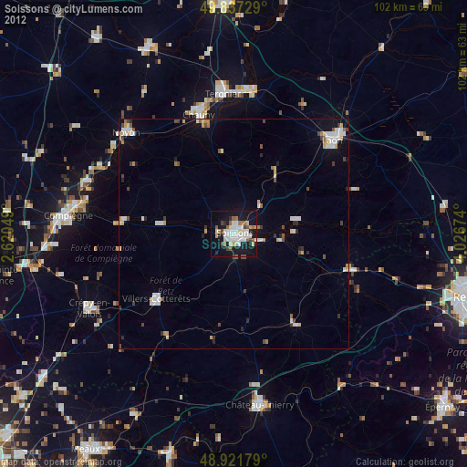
» Earth at Night: Flat Maps 2012, 2016