Fismes night lights from space
Night Light of Fismes (Grand Est) from space (France) Src. Average luminocity for 10x10km area is 3.9933% and for 50x50km: 4.9577%.
Analysis of Fismes night lights 2016
Square area 10x10 km:
 0.67%
0.67%90-99
1.47%80-89
0%70-79
0.53%60-69
0.53%50-59
0%40-49
0.53%30-39
0%20-29
0.13%10-19
1.2%0-9
94.92%Square area 50x50 km:
1.19%90-99
0.91%80-89
0.26%70-79
0.31%60-69
0.42%50-59
0.57%40-49
0.51%30-39
0.64%20-29
1.51%10-19
3.23%0-9
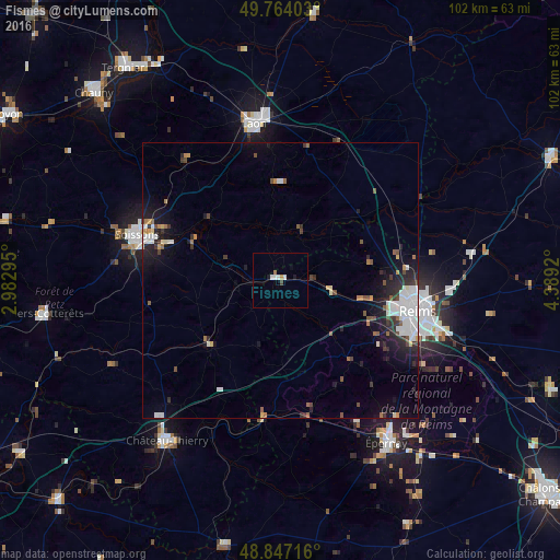
90.45%Clear (daylight) street map image can be seen on geolist.org.
Map coordinates:
49° 45' 50.5" North, 2° 58' 58.6" East
49° 18' 27.8" North, 3° 41' 9.9" East
48° 50' 49.8" North, 4° 23' 21.1" East
Some cities around Fismes sort by population:
• Reims
25.3 km =15.7 mi,  100°
100°
• Soissons
27.5 km =17.1 mi,  287°
287°
• Laon
28.7 km =17.8 mi,  351°
351°
• Épernay
35.8 km =22.2 mi,  146°
146°
• Château-Thierry
35.6 km =22.1 mi,  215°
215°
• Tinqueux
22.5 km =14 mi,  106°
106°
• Cormontreuil
28.3 km =17.6 mi, 110°
• Bétheny
26.9 km =16.7 mi, 95°
3018453 (p: 5,395)
Sources (retrieved 2019-11-25):
» Earth at Night: Flat Maps 2012, 2016