Laon night lights from space
Night Light of Laon (Hauts-de-France) from space (France) Src. Average luminocity for 10x10km area is 24.2521% and for 50x50km: 4.3923%.
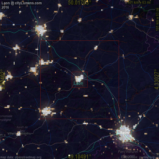
Analysis of Laon night lights 2016
Square area 10x10 km:
 7.56%
7.56%90-99
6.72%80-89
1.54%70-79
0.98%60-69
0.56%50-59
0.56%40-49
0.42%30-39
0.7%20-29
0.42%10-19
35.43%0-9
45.1%Square area 50x50 km:
0.94%90-99
0.96%80-89
0.31%70-79
0.35%60-69
0.42%50-59
0.32%40-49
0.3%30-39
0.37%20-29
0.6%10-19
4.26%0-9
91.16%Clear (daylight) street map image can be seen on geolist.org.
Map coordinates:
50° 1' 1.3" North, 2° 55' 26.5" East
49° 33' 47.2" North, 3° 37' 37.7" East
49° 6' 17.7" North, 4° 19' 49" East
Some cities around Laon sort by population:
• Saint-Quentin
40.1 km =24.9 mi,  322°
322°
• Soissons
29.8 km =18.5 mi,  227°
227°
• Tergnier
25.7 km =16 mi,  293°
293°
• Chauny
30 km =18.6 mi,  281°
281°
• Tinqueux
43.3 km =26.9 mi,  143°
143°
• Guise
37.5 km =23.3 mi,  0°
0°
• Gauchy
38.9 km =24.2 mi, 319°
• Fismes
28.7 km =17.8 mi,  171°
171°
3007477 (p: 28,688)
Sources (retrieved 2019-11-25):
» Earth at Night: Flat Maps 2012, 2016