Savigny-le-Temple night lights from space
Night Light of Savigny-le-Temple (Île-de-France) from space (France) Src. Average luminocity for 10x10km area is 57.1518% and for 50x50km: 34.7165%.
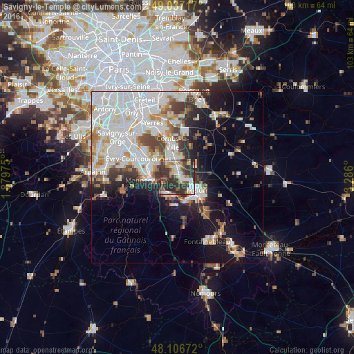
Analysis of Savigny-le-Temple night lights 2016
Square area 10x10 km:
 9.82%
9.82%90-99
13.54%80-89
4.32%70-79
7.59%60-69
5.65%50-59
8.18%40-49
8.18%30-39
26.64%20-29
16.07%10-19
0%0-9
0%Square area 50x50 km:
11.72%90-99
8.77%80-89
2.46%70-79
3.04%60-69
3.26%50-59
2.55%40-49
3.41%30-39
3.86%20-29
4.99%10-19
10.99%0-9
44.95%Clear (daylight) street map image can be seen on geolist.org.
Map coordinates:
49° 2' 13.8" North, 1° 52' 47.1" East
48° 34' 26.7" North, 2° 34' 58.3" East
48° 6' 24.2" North, 3° 17' 9.6" East
Some cities around Savigny-le-Temple sort by population:
• Melun
6.1 km =3.8 mi,  121°
121°
• Le Mée-sur-Seine
5.8 km =3.6 mi,  144°
144°
• Moissy-Cramayel
5.9 km =3.7 mi,  13°
13°
• Ponthierry
5.3 km =3.3 mi,  212°
212°
• Saint-Fargeau-Ponthierry
4.4 km =2.7 mi,  244°
244°
• Vert-Saint-Denis
2.8 km =1.7 mi,  103°
103°
• Cesson
2.3 km =1.4 mi,  125°
125°
• Nandy
1.8 km =1.1 mi,  304°
304°
2975536 (p: 25,925)
Sources (retrieved 2019-11-25):
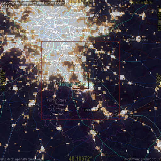
» Earth at Night: Flat Maps 2012, 2016