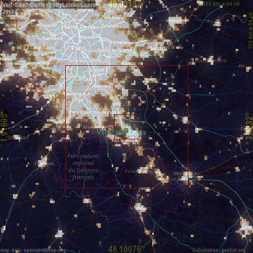
Vert-Saint-Denis night lights from space
Night Light of Vert-Saint-Denis (Île-de-France) from space (France) Src. Average luminocity for 10x10km area is 58.5283% and for 50x50km: 32.278%.
Analysis of Vert-Saint-Denis night lights 2016
Square area 10x10 km:
 13.69%
90-99
14.58%80-89
4.17%70-79
6.55%60-69
5.95%50-59
8.18%40-49
5.06%30-39
21.13%20-29
16.96%10-19
3.42%0-9
0.3%Square area 50x50 km:
10.82%90-99
8.02%80-89
2.15%70-79
2.67%60-69
2.86%50-59
2.44%40-49
3.31%30-39
3.94%20-29
4.84%10-19
11.19%0-9
47.77%Clear (daylight) street map image can be seen on geolist.org.
Map coordinates:
49° 1' 52.8" North, 1° 55' 1" East
48° 34' 5.4" North, 2° 37' 12.3" East
48° 6' 2.7" North, 3° 19' 23.5" East
Some cities around Vert-Saint-Denis sort by population:
• Melun
3.5 km =2.2 mi,  135°
135°
• Savigny-le-Temple
2.8 km =1.7 mi,  283°
283°
• Le Mée-sur-Seine
4.1 km =2.5 mi,  171°
171°
• Dammarie-les-Lys
6.1 km =3.8 mi,  158°
158°
• Moissy-Cramayel
6.6 km =4.1 mi,  347°
347°
• Ponthierry
6.8 km =4.2 mi,  235°
235°
• Cesson
1.1 km =0.7 mi,  232°
232°
• Nandy
4.5 km =2.8 mi,  291°
291°
2969608 (p: 8,275)
Sources (retrieved 2019-11-25):
» Earth at Night: Flat Maps 2012, 2016