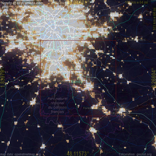
Nandy night lights from space
Night Light of Nandy (Île-de-France) from space (France) Src. Average luminocity for 10x10km area is 56.619% and for 50x50km: 37.0498%.
Analysis of Nandy night lights 2016
Square area 10x10 km:
 9.08%
9.08%90-99
12.95%80-89
3.42%70-79
8.48%60-69
6.25%50-59
8.93%40-49
8.93%30-39
27.98%20-29
13.39%10-19
0.6%0-9
0%Square area 50x50 km:
12.78%90-99
9.25%80-89
2.65%70-79
3.29%60-69
3.68%50-59
2.75%40-49
3.52%30-39
3.99%20-29
5.12%10-19
11%0-9
41.95%Clear (daylight) street map image can be seen on geolist.org.
Map coordinates:
49° 2' 45.6" North, 1° 51' 35.2" East
48° 34' 58.8" North, 2° 33' 46.5" East
48° 6' 56.6" North, 3° 15' 57.7" East
Some cities around Nandy sort by population:
• Savigny-le-Temple
1.8 km =1.1 mi,  124°
124°
• Moissy-Cramayel
5.6 km =3.5 mi,  30°
30°
• Ponthierry
5.7 km =3.5 mi,  194°
194°
• Saint-Fargeau-Ponthierry
3.8 km =2.4 mi,  221°
221°
• Vert-Saint-Denis
4.5 km =2.8 mi,  111°
111°
• Cesson
4.1 km =2.5 mi,  125°
125°
• Saint-Pierre-du-Perray
5.9 km =3.7 mi,  301°
301°
• Saintry-sur-Seine
5.2 km =3.2 mi,  286°
286°
2990995 (p: 6,741)
Sources (retrieved 2019-11-25):
» Earth at Night: Flat Maps 2012, 2016