Melun night lights from space
Night Light of Melun (Île-de-France) from space (France) Src. Average luminocity for 10x10km area is 56.3438% and for 50x50km: 27.5204%.
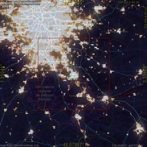
Analysis of Melun night lights 2016
Square area 10x10 km:
 15.48%
90-99
13.84%80-89
4.61%70-79
3.57%60-69
6.25%50-59
6.55%40-49
6.55%30-39
13.84%20-29
14.88%10-19
13.69%0-9
0.74%Square area 50x50 km:
7.82%90-99
6.79%80-89
1.87%70-79
2.44%60-69
2.62%50-59
2.49%40-49
3.21%30-39
3.83%20-29
4.44%10-19
11.22%0-9
53.24%Clear (daylight) street map image can be seen on geolist.org.
Map coordinates:
49° 0' 32.6" North, 1° 57' 1.6" East
48° 32' 44.5" North, 2° 39' 12.8" East
48° 4' 41.1" North, 3° 21' 24.1" East
Some cities around Melun sort by population:
• Savigny-le-Temple
6.1 km =3.8 mi,  301°
301°
• Le Mée-sur-Seine
2.4 km =1.5 mi,  229°
229°
• Dammarie-les-Lys
3.2 km =2 mi,  184°
184°
• Ponthierry
8.2 km =5.1 mi,  260°
260°
• Vaux-le-Pénil
3.4 km =2.1 mi,  125°
125°
• Vert-Saint-Denis
3.5 km =2.2 mi,  315°
315°
• Cesson
3.8 km =2.4 mi, 298°
• Nandy
7.9 km =4.9 mi, 301°
2994651 (p: 38,953)
Sources (retrieved 2019-11-25):
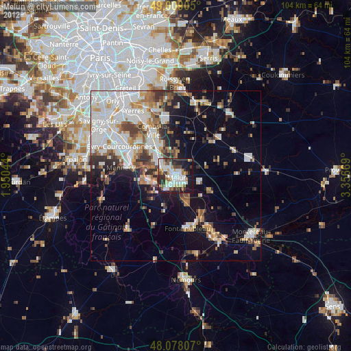
» Earth at Night: Flat Maps 2012, 2016