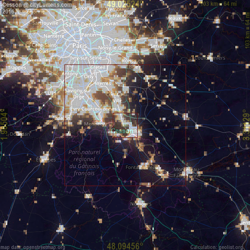
Cesson night lights from space
Night Light of Cesson (Île-de-France) from space (France) Src. Average luminocity for 10x10km area is 59.9196% and for 50x50km: 31.8168%.
Analysis of Cesson night lights 2016
Square area 10x10 km:
 15.48%
90-99
15.63%80-89
4.46%70-79
4.76%60-69
4.32%50-59
7.89%40-49
5.8%30-39
22.92%20-29
18.15%10-19
0.6%0-9
0%Square area 50x50 km:
10.21%90-99
8.06%80-89
2.19%70-79
2.75%60-69
2.95%50-59
2.47%40-49
3.33%30-39
3.88%20-29
4.78%10-19
11%0-9
48.39%Clear (daylight) street map image can be seen on geolist.org.
Map coordinates:
49° 1' 30.9" North, 1° 54' 18.1" East
48° 33' 43.3" North, 2° 36' 29.4" East
48° 5' 40.4" North, 3° 18' 40.6" East
Some cities around Cesson sort by population:
• Melun
3.8 km =2.4 mi,  118°
118°
• Savigny-le-Temple
2.3 km =1.4 mi,  305°
305°
• Le Mée-sur-Seine
3.7 km =2.3 mi,  156°
156°
• Dammarie-les-Lys
5.9 km =3.7 mi,  148°
148°
• Ponthierry
5.7 km =3.5 mi,  236°
236°
• Saint-Fargeau-Ponthierry
5.9 km =3.7 mi,  264°
264°
• Vert-Saint-Denis
1.1 km =0.7 mi,  52°
52°
• Nandy
4.1 km =2.5 mi, 305°
3027768 (p: 7,557)
Sources (retrieved 2019-11-25):
» Earth at Night: Flat Maps 2012, 2016