Saintes night lights from space
Night Light of Saintes (Nouvelle-Aquitaine) from space (France) Src. Average luminocity for 10x10km area is 22.8167% and for 50x50km: 3.91%.
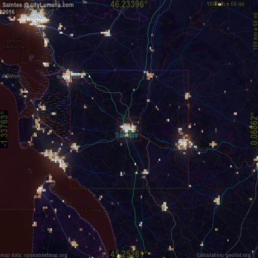
Analysis of Saintes night lights 2016
Square area 10x10 km:
 4.24%
4.24%90-99
4.7%80-89
1.97%70-79
1.21%60-69
2.88%50-59
3.18%40-49
1.82%30-39
1.82%20-29
3.94%10-19
21.36%0-9
52.88%Square area 50x50 km:
0.55%90-99
0.69%80-89
0.36%70-79
0.44%60-69
0.49%50-59
0.51%40-49
0.53%30-39
0.34%20-29
0.52%10-19
2.6%0-9
92.97%Clear (daylight) street map image can be seen on geolist.org.
Map coordinates:
46° 14' 2.3" North, 1° 20' 15.5" West
45° 44' 43.6" North, 0° 38' 4.2" West
45° 15' 9.4" North, 0° 4' 7" East
Some cities around Saintes sort by population:
• Rochefort
33.8 km =21 mi,  310°
310°
• Cognac
24.4 km =15.2 mi,  103°
103°
• Royan
33.2 km =20.6 mi,  246°
246°
• Tonnay-Charente
30.2 km =18.8 mi,  318°
318°
• Surgères
41.3 km =25.7 mi,  347°
347°
• Saujon
24 km =14.9 mi, 250°
• Pons
19.6 km =12.2 mi,  159°
159°
• Marennes
37.5 km =23.3 mi,  283°
283°
2980340 (p: 29,512)
Sources (retrieved 2019-11-25):
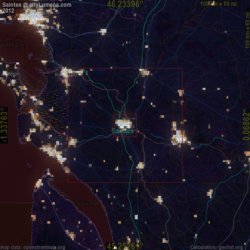
» Earth at Night: Flat Maps 2012, 2016