Tonnay-Charente night lights from space
Night Light of Tonnay-Charente (Nouvelle-Aquitaine) from space (France) Src. Average luminocity for 10x10km area is 15.0818% and for 50x50km: 6.2913%.
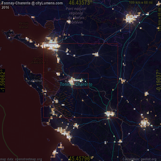
Analysis of Tonnay-Charente night lights 2016
Square area 10x10 km:
 1.64%
1.64%90-99
4.46%80-89
2.23%70-79
0.89%60-69
0.89%50-59
0.74%40-49
1.34%30-39
0.89%20-29
0%10-19
20.24%0-9
66.67%Square area 50x50 km:
1.04%90-99
1.5%80-89
0.53%70-79
0.76%60-69
0.55%50-59
0.55%40-49
0.53%30-39
0.49%20-29
1.19%10-19
3.85%0-9
89.03%Clear (daylight) street map image can be seen on geolist.org.
Map coordinates:
46° 26' 8.6" North, 1° 35' 47.8" West
45° 56' 56.4" North, 0° 53' 36.6" West
45° 27' 28.7" North, 0° 11' 25.3" West
Some cities around Tonnay-Charente sort by population:
• Saintes
30.2 km =18.8 mi,  138°
138°
• Rochefort
5.7 km =3.5 mi,  262°
262°
• Aytré
26.9 km =16.7 mi,  320°
320°
• Périgny
27.8 km =17.3 mi,  325°
325°
• Châtelaillon-Plage
20.4 km =12.7 mi,  312°
312°
• Surgères
20.8 km =12.9 mi,  31°
31°
• Dompierre-sur-Mer
29.7 km =18.5 mi, 333°
• Marennes
21.6 km =13.4 mi,  229°
229°
2972470 (p: 7,229)
Sources (retrieved 2019-11-25):
» Earth at Night: Flat Maps 2012, 2016