Cognac night lights from space
Night Light of Cognac (Nouvelle-Aquitaine) from space (France) Src. Average luminocity for 10x10km area is 29.8697% and for 50x50km: 3.4224%.
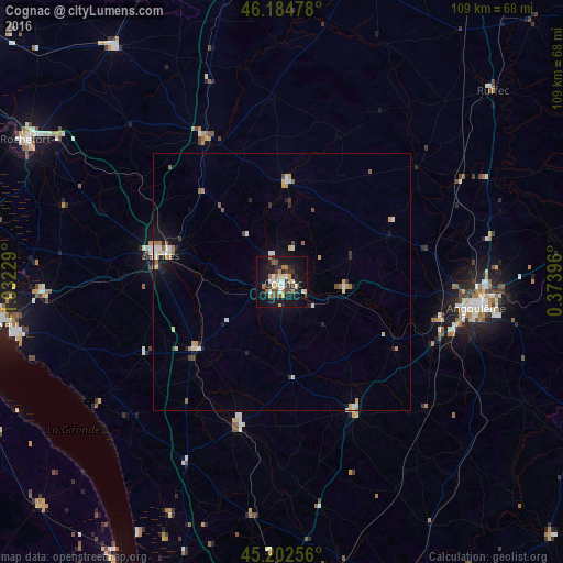
Analysis of Cognac night lights 2016
Square area 10x10 km:
 3.94%
3.94%90-99
3.94%80-89
3.64%70-79
4.39%60-69
3.79%50-59
2.88%40-49
3.64%30-39
6.21%20-29
6.36%10-19
34.85%0-9
26.36%Square area 50x50 km:
0.43%90-99
0.56%80-89
0.37%70-79
0.46%60-69
0.44%50-59
0.39%40-49
0.31%30-39
0.41%20-29
0.6%10-19
2.25%0-9
93.77%Clear (daylight) street map image can be seen on geolist.org.
Map coordinates:
46° 11' 5.2" North, 1° 1' 56.2" West
45° 41' 44.9" North, 0° 19' 43.2" West
45° 12' 9.2" North, 0° 22' 26.3" East
Some cities around Cognac sort by population:
• Angoulême
37.8 km =23.5 mi,  97°
97°
• Saintes
24.4 km =15.2 mi,  283°
283°
• Soyaux
41.3 km =25.7 mi, 98°
• La Couronne
34.6 km =21.5 mi,  105°
105°
• Saint-Yrieix-sur-Charente
35.5 km =22.1 mi,  93°
93°
• Gond-Pontouvre
38.5 km =23.9 mi, 92°
• Barbezieux-Saint-Hilaire
28.4 km =17.6 mi,  151°
151°
• Pons
21.4 km =13.3 mi,  232°
232°
3024440 (p: 20,868)
Sources (retrieved 2019-11-25):
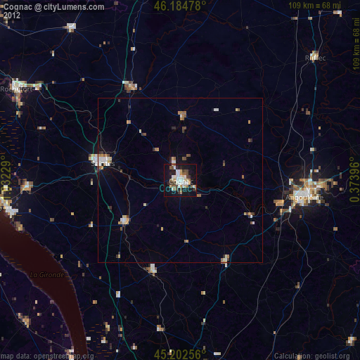
» Earth at Night: Flat Maps 2012, 2016