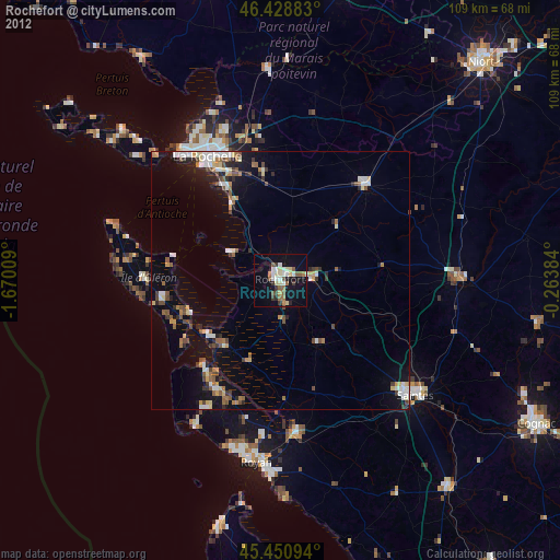
Rochefort night lights from space
Night Light of Rochefort (Nouvelle-Aquitaine) from space (France) Src. Average luminocity for 10x10km area is 23.2783% and for 50x50km: 5.934%.
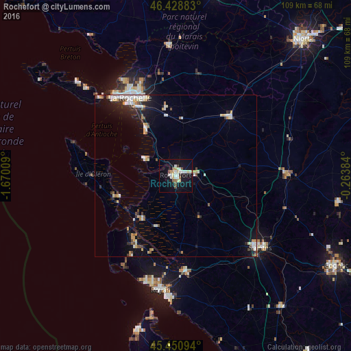
Analysis of Rochefort night lights 2016
Square area 10x10 km:
 3.87%
3.87%90-99
5.8%80-89
2.98%70-79
2.23%60-69
1.34%50-59
1.79%40-49
1.93%30-39
1.19%20-29
0%10-19
30.8%0-9
48.07%Square area 50x50 km:
0.89%90-99
1.35%80-89
0.51%70-79
0.78%60-69
0.44%50-59
0.51%40-49
0.56%30-39
0.57%20-29
1.08%10-19
3.78%0-9
89.53%Clear (daylight) street map image can be seen on geolist.org.
Map coordinates:
46° 25' 43.8" North, 1° 40' 12.3" West
45° 56' 31.3" North, 0° 58' 1.1" West
45° 27' 3.4" North, 0° 15' 49.8" West
Some cities around Rochefort sort by population:
• Aytré
24.4 km =15.2 mi,  332°
332°
• Tonnay-Charente
5.7 km =3.5 mi,  82°
82°
• Saint-Pierre-d’Oléron
26.2 km =16.3 mi,  270°
270°
• Périgny
25.8 km =16 mi,  336°
336°
• Châtelaillon-Plage
17.3 km =10.7 mi, 326°
• Surgères
24.9 km =15.5 mi,  42°
42°
• Dompierre-sur-Mer
28.4 km =17.6 mi, 344°
• Marennes
17.1 km =10.6 mi,  218°
218°
2983276 (p: 29,427)
Sources (retrieved 2019-11-25):
» Earth at Night: Flat Maps 2012, 2016