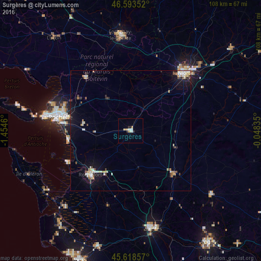
Surgères night lights from space
Night Light of Surgères (Nouvelle-Aquitaine) from space (France) Src. Average luminocity for 10x10km area is 7.348% and for 50x50km: 3.6239%.
Analysis of Surgères night lights 2016
Square area 10x10 km:
 1.14%
1.14%90-99
1.7%80-89
1.28%70-79
0.85%60-69
0.71%50-59
0%40-49
0.14%30-39
1.56%20-29
0.57%10-19
0%0-9
92.05%Square area 50x50 km:
0.39%90-99
0.78%80-89
0.47%70-79
0.39%60-69
0.27%50-59
0.39%40-49
0.39%30-39
0.32%20-29
0.4%10-19
2.78%0-9
93.42%Clear (daylight) street map image can be seen on geolist.org.
Map coordinates:
46° 35' 36.7" North, 1° 27' 16.6" West
46° 6' 29.5" North, 0° 45' 5.3" West
45° 37' 6.9" North, 0° 2' 54.1" West
Some cities around Surgères sort by population:
• La Rochelle
31.4 km =19.5 mi,  281°
281°
• Rochefort
24.9 km =15.5 mi,  222°
222°
• Aytré
28.1 km =17.5 mi, 276°
• Tonnay-Charente
20.8 km =12.9 mi,  211°
211°
• Lagord
32.2 km =20 mi,  286°
286°
• Périgny
27.2 km =16.9 mi, 281°
• Châtelaillon-Plage
26.4 km =16.4 mi,  261°
261°
• Dompierre-sur-Mer
25.6 km =15.9 mi, 290°
2973672 (p: 5,888)
Sources (retrieved 2019-11-25):
» Earth at Night: Flat Maps 2012, 2016