Saint-Memmie night lights from space
Night Light of Saint-Memmie (Grand Est) from space (France) Src. Average luminocity for 10x10km area is 38.233% and for 50x50km: 4.3352%.
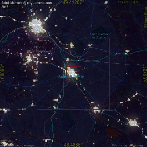
Analysis of Saint-Memmie night lights 2016
Square area 10x10 km:
 11.65%
90-99
11.51%80-89
3.55%70-79
2.84%60-69
1.14%50-59
0.57%40-49
0.57%30-39
2.41%20-29
12.07%10-19
28.69%0-9
25%Square area 50x50 km:
0.68%90-99
0.85%80-89
0.45%70-79
0.42%60-69
0.25%50-59
0.43%40-49
0.44%30-39
0.48%20-29
0.91%10-19
3.38%0-9
91.72%Clear (daylight) street map image can be seen on geolist.org.
Map coordinates:
49° 24' 43.5" North, 3° 40' 51.5" East
48° 57' 8.9" North, 4° 23' 2.7" East
48° 29' 19" North, 5° 5' 14" East
Some cities around Saint-Memmie sort by population:
• Reims
43.4 km =27 mi,  323°
323°
• Châlons-en-Champagne
1.2 km =0.7 mi,  277°
277°
• Épernay
32.5 km =20.2 mi,  287°
287°
• Vitry-le-François
29.3 km =18.2 mi,  149°
149°
• Tinqueux
44.1 km =27.4 mi, 318°
• Cormontreuil
38.1 km =23.7 mi, 320°
• Bétheny
44.1 km =27.4 mi,  327°
327°
• Mourmelon-le-Grand
20.1 km =12.5 mi,  355°
355°
2978056 (p: 5,833)
Sources (retrieved 2019-11-25):
» Earth at Night: Flat Maps 2012, 2016