Châlons-en-Champagne night lights from space
Night Light of Châlons-en-Champagne (Grand Est) from space (France) Src. Average luminocity for 10x10km area is 41.456% and for 50x50km: 4.6376%.
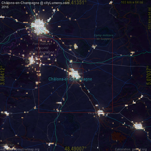
Analysis of Châlons-en-Champagne night lights 2016
Square area 10x10 km:
 11.79%
90-99
11.65%80-89
4.4%70-79
3.69%60-69
1.42%50-59
1.14%40-49
0.99%30-39
2.84%20-29
12.78%10-19
34.09%0-9
15.2%Square area 50x50 km:
0.68%90-99
0.87%80-89
0.5%70-79
0.5%60-69
0.32%50-59
0.46%40-49
0.45%30-39
0.51%20-29
0.97%10-19
3.69%0-9
91.06%Clear (daylight) street map image can be seen on geolist.org.
Map coordinates:
49° 24' 48.6" North, 3° 39' 50.8" East
48° 57' 14.1" North, 4° 22' 2.1" East
48° 29' 24.3" North, 5° 4' 13.3" East
Some cities around Châlons-en-Champagne sort by population:
• Reims
42.5 km =26.4 mi,  324°
324°
• Épernay
31.3 km =19.4 mi,  287°
287°
• Vitry-le-François
30 km =18.6 mi,  148°
148°
• Tinqueux
43.2 km =26.8 mi, 319°
• Cormontreuil
37.2 km =23.1 mi, 321°
• Saint-Memmie
1.2 km =0.7 mi,  97°
97°
• Mourmelon-le-Grand
19.9 km =12.4 mi,  359°
359°
• Sainte-Menehould
41.5 km =25.8 mi,  68°
68°
3027487 (p: 51,257)
Sources (retrieved 2019-11-25):
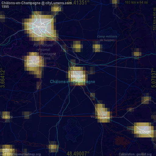
» NASA, Earths city lights 1995
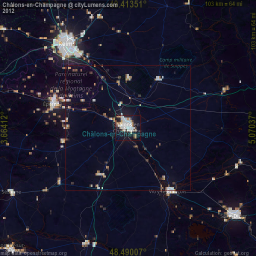
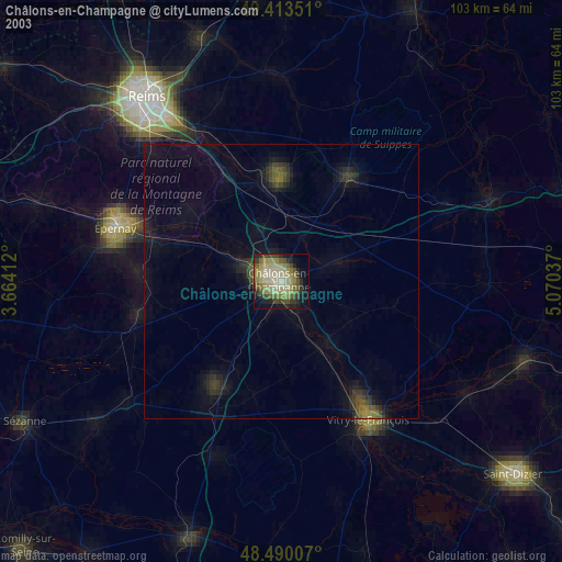
» NASA city lights 2003
» Earth at Night: Flat Maps 2012, 2016