Saint-Gaudens night lights from space
Night Light of Saint-Gaudens (Occitanie) from space (France) Src. Average luminocity for 10x10km area is 14.8% and for 50x50km: 1.719%.
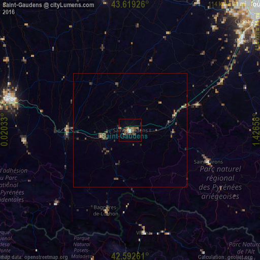
Analysis of Saint-Gaudens night lights 2016
Square area 10x10 km:
 1.06%
1.06%90-99
0.76%80-89
0.91%70-79
0.3%60-69
4.39%50-59
4.85%40-49
4.39%30-39
1.67%20-29
2.88%10-19
1.52%0-9
77.27%Square area 50x50 km:
0.04%90-99
0.04%80-89
0.12%70-79
0.09%60-69
0.39%50-59
0.58%40-49
0.49%30-39
0.43%20-29
0.64%10-19
0.22%0-9
96.95%Clear (daylight) street map image can be seen on geolist.org.
Map coordinates:
43° 37' 9.3" North, 0° 1' 13.2" East
43° 6' 29.1" North, 0° 43' 24.4" East
42° 35' 33.4" North, 1° 25' 35.7" East
Some cities around Saint-Gaudens sort by population:
• Tarbes
53.7 km =33.4 mi,  285°
285°
• Auch
60.7 km =37.7 mi,  349°
349°
• Muret
62.5 km =38.8 mi,  51°
51°
• Bagnères-de-Bigorre
46.8 km =29.1 mi,  264°
264°
• Aureilhan
53.1 km =33 mi, 286°
• Lannemezan
27.6 km =17.1 mi,  273°
273°
• Vielha, ES
45.5 km =28.3 mi,  172°
172°
• Vic-en-Bigorre
62.4 km =38.8 mi,  299°
299°
2980045 (p: 12,193)
Sources (retrieved 2019-11-25):
» Earth at Night: Flat Maps 2012, 2016