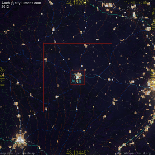
Auch night lights from space
Night Light of Auch (Occitanie) from space (France) Src. Average luminocity for 10x10km area is 17.6561% and for 50x50km: 1.4177%.
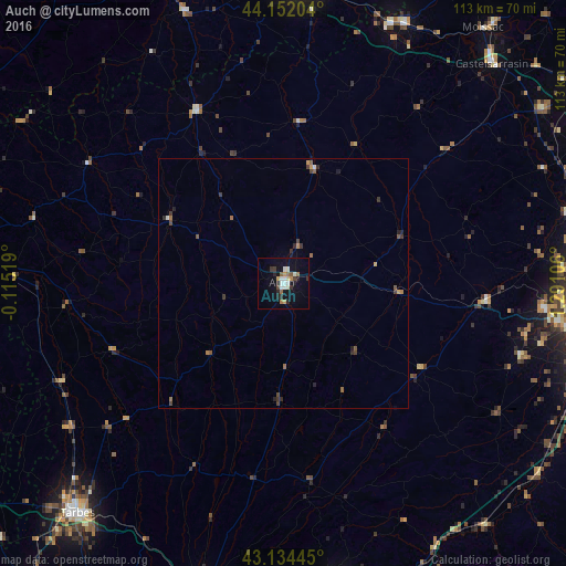
Analysis of Auch night lights 2016
Square area 10x10 km:
 2.27%
2.27%90-99
4.39%80-89
0.91%70-79
1.67%60-69
2.12%50-59
1.97%40-49
0.91%30-39
3.48%20-29
3.33%10-19
11.36%0-9
67.58%Square area 50x50 km:
0.1%90-99
0.22%80-89
0.06%70-79
0.16%60-69
0.25%50-59
0.3%40-49
0.21%30-39
0.4%20-29
0.36%10-19
0.58%0-9
97.36%Clear (daylight) street map image can be seen on geolist.org.
Map coordinates:
44° 9' 7.3" North, 0° 6' 54.7" West
43° 38' 43.4" North, 0° 35' 16.5" East
43° 8' 4" North, 1° 17' 27.8" East
Some cities around Auch sort by population:
• L’Isle-Jourdain
40 km =24.9 mi,  95°
95°
• Fonsorbes
53.1 km =33 mi, 103°
• Condom
38.9 km =24.2 mi,  333°
333°
• Léguevin
52.1 km =32.4 mi, 95°
• Fleurance
23.3 km =14.5 mi,  14°
14°
• La Salvetat-Saint-Gilles
55.6 km =34.5 mi, 97°
• Saint-Lys
49.6 km =30.8 mi,  107°
107°
• Vic-en-Bigorre
51.7 km =32.1 mi,  236°
236°
3036281 (p: 24,494)
Sources (retrieved 2019-11-25):
» Earth at Night: Flat Maps 2012, 2016