Tarbes night lights from space
Night Light of Tarbes (Occitanie) from space (France) Src. Average luminocity for 10x10km area is 46.5212% and for 50x50km: 4.8412%.
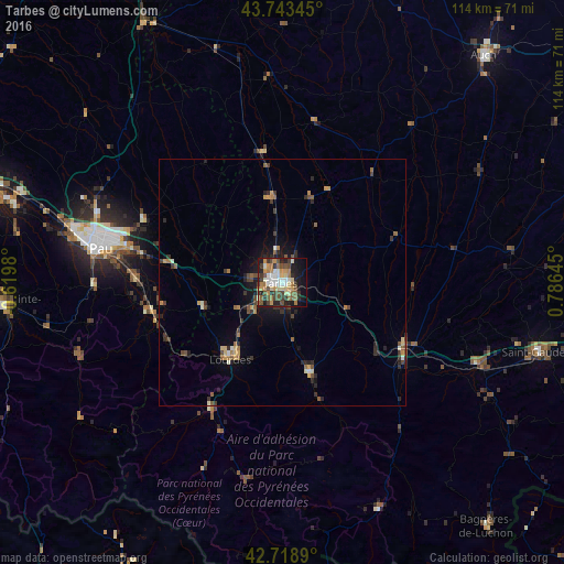
Analysis of Tarbes night lights 2016
Square area 10x10 km:
 5.3%
5.3%90-99
8.94%80-89
5.61%70-79
7.73%60-69
8.48%50-59
6.52%40-49
9.55%30-39
7.88%20-29
11.67%10-19
19.7%0-9
8.64%Square area 50x50 km:
0.24%90-99
0.65%80-89
0.44%70-79
0.73%60-69
0.74%50-59
0.78%40-49
0.91%30-39
0.98%20-29
1.48%10-19
2.45%0-9
90.59%Clear (daylight) street map image can be seen on geolist.org.
Map coordinates:
43° 44' 36.4" North, 0° 37' 11.3" West
43° 13' 60" North, 0° 4' 60" East
42° 43' 8" North, 0° 47' 11.2" East
Some cities around Tarbes sort by population:
• Pau
37.2 km =23.1 mi,  281°
281°
• Lourdes
18.3 km =11.4 mi,  216°
216°
• Bagnères-de-Bigorre
19.6 km =12.2 mi,  164°
164°
• Aureilhan
1.5 km =0.9 mi,  42°
42°
• Lannemezan
27.2 km =16.9 mi,  116°
116°
• Vic-en-Bigorre
17.2 km =10.7 mi,  352°
352°
• Gan
37.8 km =23.5 mi,  270°
270°
• Bizanos
35.5 km =22.1 mi, 279°
2973385 (p: 52,106)
Sources (retrieved 2019-11-25):
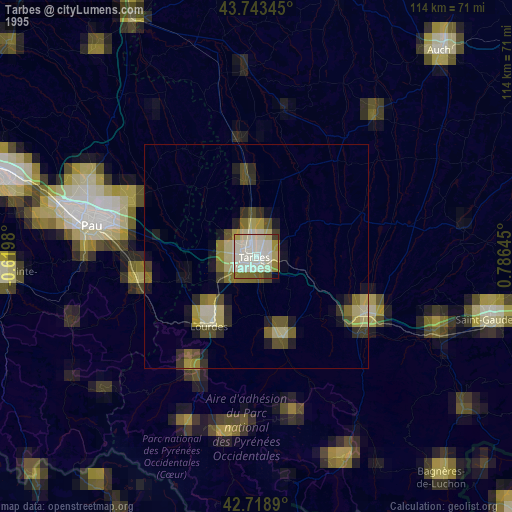
» NASA, Earths city lights 1995
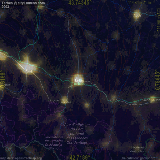
» NASA city lights 2003
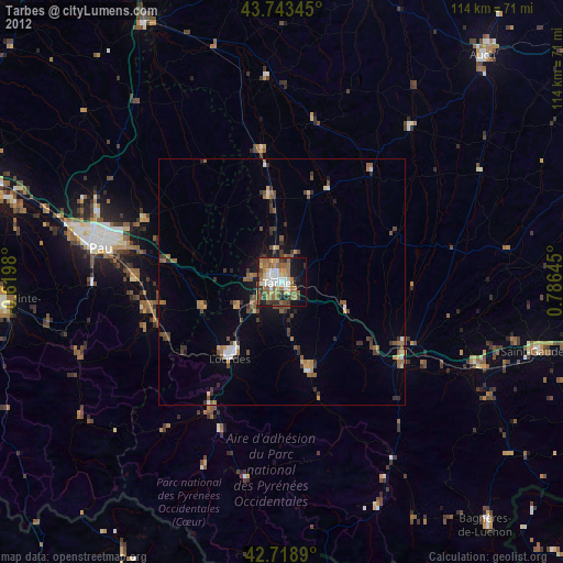
» Earth at Night: Flat Maps 2012, 2016