Vielha night lights from space
Night Light of Vielha (Catalonia) from space (Spain) Src. Average luminocity for 10x10km area is 7.2167% and for 50x50km: 1.0271%.
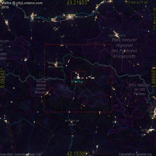
Analysis of Vielha night lights 2016
Square area 10x10 km:
 0.76%
0.76%90-99
0.45%80-89
1.82%70-79
0.61%60-69
1.82%50-59
0.61%40-49
1.21%30-39
0.61%20-29
0.76%10-19
0.45%0-9
90.91%Square area 50x50 km:
0.03%90-99
0.16%80-89
0.16%70-79
0.09%60-69
0.13%50-59
0.26%40-49
0.15%30-39
0.23%20-29
0.38%10-19
0.08%0-9
98.32%Clear (daylight) street map image can be seen on geolist.org.
Map coordinates:
43° 12' 59.5" North, 0° 5' 32.7" East
42° 42' 7.1" North, 0° 47' 44" East
42° 10' 59.1" North, 1° 29' 55.2" East
Some cities around Vielha sort by population:
• Andorra la Vella, AD
63.2 km =39.3 mi,  109°
109°
• Saint-Gaudens, FR
45.5 km =28.3 mi,  352°
352°
• Sant Julià de Lòria, AD
62.8 km =39 mi, 114°
• la Massana, AD
61.4 km =38.2 mi, 106°
• Saint-Girons, FR
42.5 km =26.4 mi,  42°
42°
• Lannemezan, FR
57.8 km =35.9 mi,  324°
324°
• Tremp
60 km =37.3 mi,  172°
172°
• Ordino, AD
62.5 km =38.8 mi, 105°
3105994 (p: 5,385)
Sources (retrieved 2019-11-25):
» Earth at Night: Flat Maps 2012, 2016