Lannemezan night lights from space
Night Light of Lannemezan (Occitanie) from space (France) Src. Average luminocity for 10x10km area is 8.5212% and for 50x50km: 2.595%.
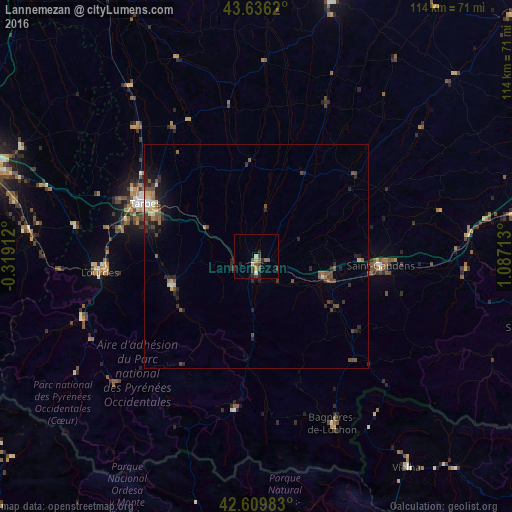
Analysis of Lannemezan night lights 2016
Square area 10x10 km:
 0.3%
0.3%90-99
0.91%80-89
1.06%70-79
0.76%60-69
0.91%50-59
2.42%40-49
1.52%30-39
2.27%20-29
4.39%10-19
0%0-9
85.45%Square area 50x50 km:
0.09%90-99
0.24%80-89
0.31%70-79
0.17%60-69
0.34%50-59
0.66%40-49
0.63%30-39
0.56%20-29
1.21%10-19
1.14%0-9
94.65%Clear (daylight) street map image can be seen on geolist.org.
Map coordinates:
43° 38' 10.3" North, 0° 19' 8.8" West
43° 7' 30.6" North, 0° 23' 2.4" East
42° 36' 35.4" North, 1° 5' 13.7" East
Some cities around Lannemezan sort by population:
• Tarbes
27.2 km =16.9 mi,  296°
296°
• Auch
60.1 km =37.3 mi,  15°
15°
• Lourdes
35.3 km =21.9 mi,  265°
265°
• Saint-Gaudens
27.6 km =17.1 mi,  93°
93°
• Bagnères-de-Bigorre
20.2 km =12.6 mi,  250°
250°
• Aureilhan
26.8 km =16.7 mi, 299°
• Vielha, ES
57.8 km =35.9 mi,  144°
144°
• Vic-en-Bigorre
39.5 km =24.5 mi,  317°
317°
3007622 (p: 6,606)
Sources (retrieved 2019-11-25):
» Earth at Night: Flat Maps 2012, 2016