Muret night lights from space
Night Light of Muret (Occitanie) from space (France) Src. Average luminocity for 10x10km area is 36.2063% and for 50x50km: 21.2676%.
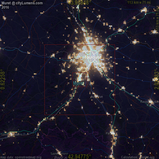
Analysis of Muret night lights 2016
Square area 10x10 km:
 4.13%
4.13%90-99
6.19%80-89
5.24%70-79
4.92%60-69
1.75%50-59
5.24%40-49
6.03%30-39
8.41%20-29
13.81%10-19
33.49%0-9
10.79%Square area 50x50 km:
4.68%90-99
4.65%80-89
2.36%70-79
2.1%60-69
2.61%50-59
2.63%40-49
3.06%30-39
2.96%20-29
4.43%10-19
6.62%0-9
63.91%Clear (daylight) street map image can be seen on geolist.org.
Map coordinates:
43° 58' 6.5" North, 0° 37' 21.3" East
43° 27' 37" North, 1° 19' 32.6" East
42° 56' 51.9" North, 2° 1' 43.8" East
Some cities around Muret sort by population:
• Plaisance-du-Touch
11.9 km =7.4 mi,  349°
349°
• Cugnaux
8.6 km =5.3 mi,  10°
10°
• Portet-sur-Garonne
9.6 km =6 mi,  42°
42°
• Villeneuve-Tolosane
7.1 km =4.4 mi, 10°
• Fonsorbes
11.4 km =7.1 mi,  317°
317°
• Seysses
4.4 km =2.7 mi,  344°
344°
• Frouzins
6.1 km =3.8 mi,  359°
359°
• Labarthe-sur-Lèze
6 km =3.7 mi,  98°
98°
2991153 (p: 24,313)
Sources (retrieved 2019-11-25):
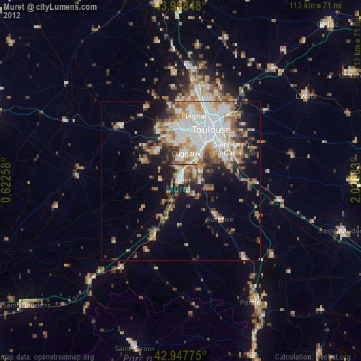
» Earth at Night: Flat Maps 2012, 2016