Rezé night lights from space
Night Light of Rezé (Pays de la Loire) from space (France) Src. Average luminocity for 10x10km area is 81.5997% and for 50x50km: 15.4481%.
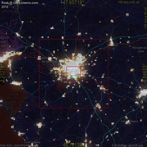
Analysis of Rezé night lights 2016
Square area 10x10 km:
 38.84%
90-99
21.43%80-89
3.27%70-79
6.85%60-69
8.93%50-59
5.06%40-49
4.02%30-39
6.7%20-29
4.91%10-19
0%0-9
0%Square area 50x50 km:
3.83%90-99
2.93%80-89
1.12%70-79
1.52%60-69
1.96%50-59
1.88%40-49
1.96%30-39
1.9%20-29
3.63%10-19
6.71%0-9
72.55%Clear (daylight) street map image can be seen on geolist.org.
Map coordinates:
47° 39' 25.9" North, 2° 15' 10" West
47° 10' 53.2" North, 1° 32' 58.7" West
46° 42' 5" North, 0° 50' 47.5" West
Some cities around Rezé sort by population:
• Nantes
4 km =2.5 mi,  355°
355°
• Saint-Herblain
8.5 km =5.3 mi,  298°
298°
• Saint-Sébastien-sur-Loire
4.6 km =2.9 mi,  50°
50°
• Vertou
6.2 km =3.9 mi,  103°
103°
• Bouguenais
5.4 km =3.4 mi,  265°
265°
• Basse-Goulaine
7.1 km =4.4 mi,  61°
61°
• Les Sorinières
4 km =2.5 mi,  157°
157°
• Pont-Saint-Martin
7 km =4.3 mi,  202°
202°
2983770 (p: 39,248)
Sources (retrieved 2019-11-25):
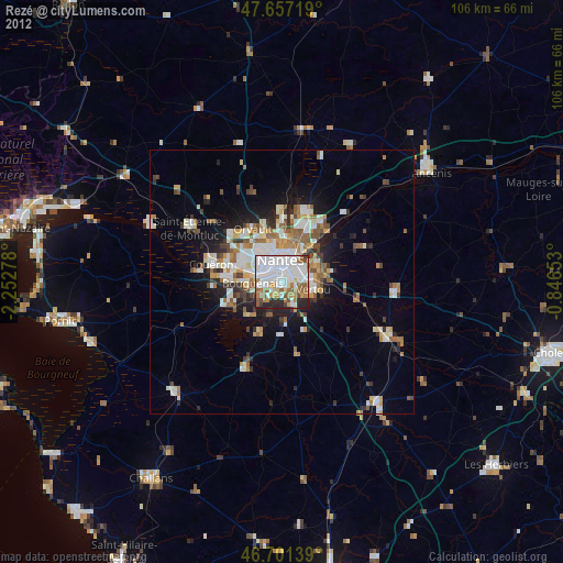
» Earth at Night: Flat Maps 2012, 2016