Les Sorinières night lights from space
Night Light of Les Sorinières (Pays de la Loire) from space (France) Src. Average luminocity for 10x10km area is 52.4716% and for 50x50km: 15.441%.
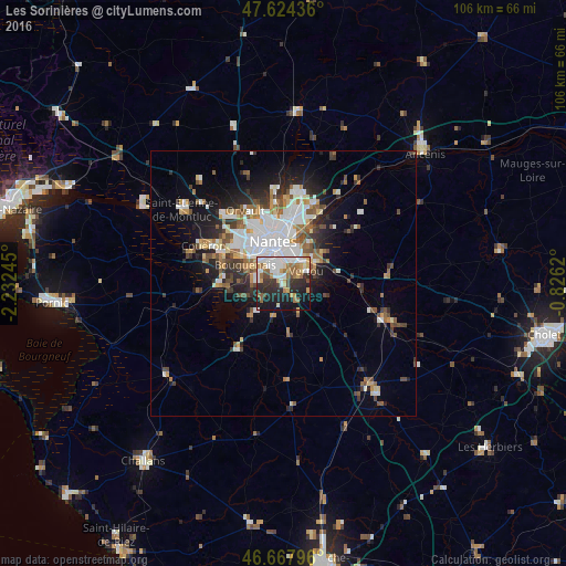
Analysis of Les Sorinières night lights 2016
Square area 10x10 km:
 12.78%
90-99
12.22%80-89
4.4%70-79
6.82%60-69
7.95%50-59
4.97%40-49
3.69%30-39
6.68%20-29
16.34%10-19
20.74%0-9
3.41%Square area 50x50 km:
3.8%90-99
2.9%80-89
1.11%70-79
1.5%60-69
1.97%50-59
1.95%40-49
2.02%30-39
1.88%20-29
3.66%10-19
6.76%0-9
72.46%Clear (daylight) street map image can be seen on geolist.org.
Map coordinates:
47° 37' 27.7" North, 2° 13' 56.8" West
47° 8' 53.9" North, 1° 31' 45.6" West
46° 40' 4.7" North, 0° 49' 34.3" West
Some cities around Les Sorinières sort by population:
• Nantes
7.9 km =4.9 mi,  346°
346°
• Rezé
4 km =2.5 mi,  337°
337°
• Saint-Sébastien-sur-Loire
6.9 km =4.3 mi,  16°
16°
• Vertou
5.1 km =3.2 mi,  63°
63°
• Bouguenais
7.7 km =4.8 mi,  295°
295°
• Basse-Goulaine
8.5 km =5.3 mi,  33°
33°
• La Chevrolière
8.8 km =5.5 mi,  223°
223°
• Pont-Saint-Martin
5 km =3.1 mi,  236°
236°
2999572 (p: 6,698)
Sources (retrieved 2019-11-25):
» Earth at Night: Flat Maps 2012, 2016