Nantes night lights from space
Night Light of Nantes (Pays de la Loire) from space (France) Src. Average luminocity for 10x10km area is 94.7783% and for 50x50km: 15.3949%.
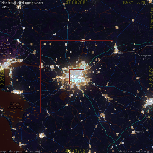
Analysis of Nantes night lights 2016
Square area 10x10 km:
 54.91%
90-99
29.61%80-89
2.68%70-79
4.91%60-69
6.7%50-59
1.19%40-49
0%30-39
0%20-29
0%10-19
0%0-9
0%Square area 50x50 km:
3.87%90-99
2.96%80-89
1.1%70-79
1.49%60-69
1.9%50-59
1.86%40-49
1.9%30-39
1.89%20-29
3.65%10-19
6.65%0-9
72.72%Clear (daylight) street map image can be seen on geolist.org.
Map coordinates:
47° 41' 33.6" North, 2° 15' 23.4" West
47° 13' 2.1" North, 1° 33' 12.1" West
46° 44' 15.1" North, 0° 51' 0.8" West
Some cities around Nantes sort by population:
• Saint-Herblain
7.2 km =4.5 mi,  270°
270°
• Rezé
4 km =2.5 mi,  175°
175°
• Saint-Sébastien-sur-Loire
3.9 km =2.4 mi,  105°
105°
• Orvault
7.9 km =4.9 mi,  319°
319°
• Bouguenais
6.8 km =4.2 mi,  229°
229°
• Sainte-Luce-sur-Loire
6.6 km =4.1 mi,  52°
52°
• Basse-Goulaine
6.5 km =4 mi,  95°
95°
• Les Sorinières
7.9 km =4.9 mi,  166°
166°
2990969 (p: 277,269)
Sources (retrieved 2019-11-25):
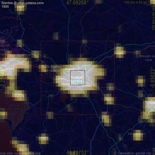
» NASA, Earths city lights 1995
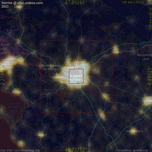
» NASA city lights 2003
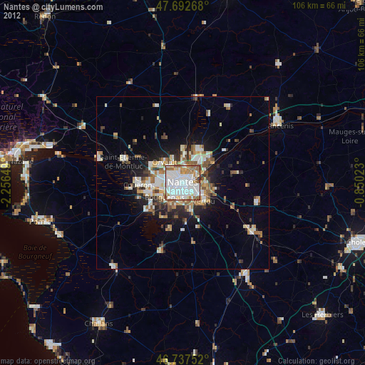
» Earth at Night: Flat Maps 2012, 2016