Vertou night lights from space
Night Light of Vertou (Pays de la Loire) from space (France) Src. Average luminocity for 10x10km area is 48.5818% and for 50x50km: 15.7822%.
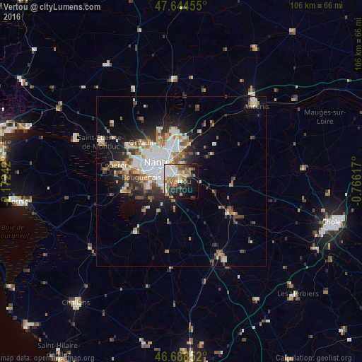
Analysis of Vertou night lights 2016
Square area 10x10 km:
 10.27%
90-99
10.27%80-89
4.61%70-79
6.25%60-69
9.82%50-59
6.25%40-49
5.8%30-39
3.87%20-29
12.05%10-19
18.15%0-9
12.65%Square area 50x50 km:
3.89%90-99
3%80-89
1.17%70-79
1.55%60-69
1.97%50-59
1.99%40-49
2.05%30-39
1.94%20-29
3.66%10-19
6.9%0-9
71.89%Clear (daylight) street map image can be seen on geolist.org.
Map coordinates:
47° 38' 40.4" North, 2° 10' 20.7" West
47° 10' 7.3" North, 1° 28' 9.4" West
46° 41' 18.7" North, 0° 45' 58.2" West
Some cities around Vertou sort by population:
• Nantes
8.3 km =5.2 mi,  310°
310°
• Rezé
6.2 km =3.9 mi,  283°
283°
• Saint-Sébastien-sur-Loire
5 km =3.1 mi,  329°
329°
• Sainte-Luce-sur-Loire
9.5 km =5.9 mi,  353°
353°
• Basse-Goulaine
4.8 km =3 mi,  1°
1°
• Les Sorinières
5.1 km =3.2 mi,  243°
243°
• Haute-Goulaine
4.5 km =2.8 mi,  41°
41°
• Pont-Saint-Martin
10.1 km =6.3 mi, 239°
2969612 (p: 22,921)
Sources (retrieved 2019-11-25):
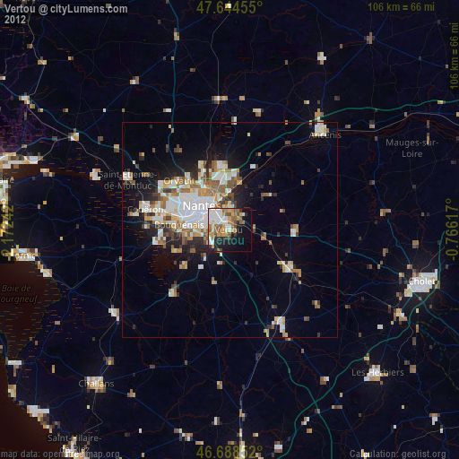
» Earth at Night: Flat Maps 2012, 2016