Saint-Herblain night lights from space
Night Light of Saint-Herblain (Pays de la Loire) from space (France) Src. Average luminocity for 10x10km area is 71.5% and for 50x50km: 14.9974%.
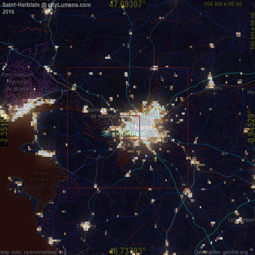
Analysis of Saint-Herblain night lights 2016
Square area 10x10 km:
 23.96%
90-99
17.56%80-89
8.63%70-79
6.85%60-69
9.23%50-59
6.99%40-49
6.85%30-39
6.55%20-29
11.76%10-19
1.64%0-9
0%Square area 50x50 km:
3.84%90-99
2.94%80-89
1.08%70-79
1.48%60-69
1.83%50-59
1.76%40-49
1.78%30-39
1.78%20-29
3.66%10-19
6.62%0-9
73.22%Clear (daylight) street map image can be seen on geolist.org.
Map coordinates:
47° 41' 35.1" North, 2° 21' 5.5" West
47° 13' 3.5" North, 1° 38' 54.3" West
46° 44' 16.5" North, 0° 56' 43" West
Some cities around Saint-Herblain sort by population:
• Nantes
7.2 km =4.5 mi,  90°
90°
• Rezé
8.5 km =5.3 mi,  118°
118°
• Orvault
6.3 km =3.9 mi,  18°
18°
• Couëron
5.5 km =3.4 mi,  267°
267°
• Bouguenais
4.9 km =3 mi,  155°
155°
• Sautron
5.3 km =3.3 mi,  341°
341°
• La Montagne
4.3 km =2.7 mi,  216°
216°
• Bouaye
9 km =5.6 mi,  202°
202°
2979590 (p: 46,898)
Sources (retrieved 2019-11-25):
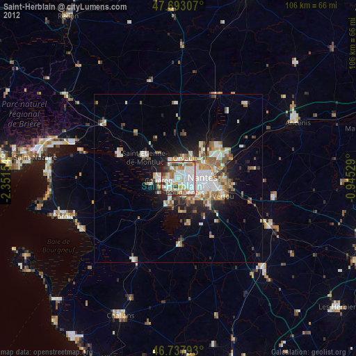
» Earth at Night: Flat Maps 2012, 2016