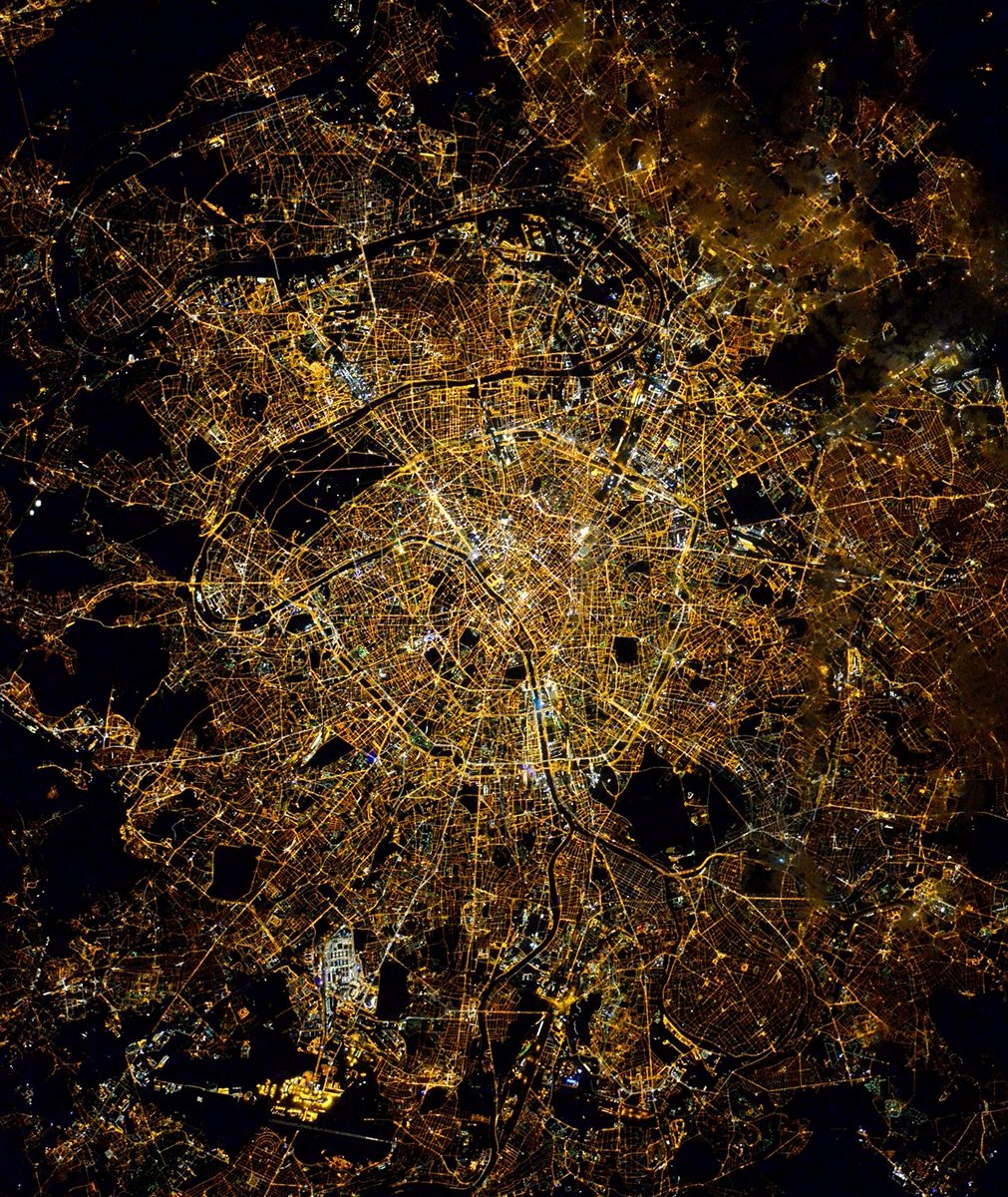
Paris night lights from space
Night Light of Paris (Île-de-France) from space (France) Src. Average luminocity for 10x10km area is 99.9673% and for 50x50km: 77.4217%.
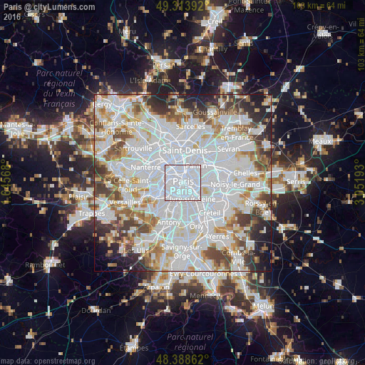
Analysis of Paris night lights 2016
Square area 10x10 km:
 97.16%
90-99
2.84%80-89
0%70-79
0%60-69
0%50-59
0%40-49
0%30-39
0%20-29
0%10-19
0%0-9
0%Square area 50x50 km:
36.34%90-99
19.73%80-89
5.79%70-79
5.23%60-69
6.13%50-59
5.11%40-49
6.06%30-39
5.06%20-29
5.12%10-19
3.83%0-9
1.6%Clear (daylight) street map image can be seen on geolist.org.
Map coordinates:
49° 18' 50.1" North, 1° 38' 44.4" East
48° 51' 12.3" North, 2° 20' 55.7" East
48° 23' 19" North, 3° 3' 6.9" East
Fantastic image of Paris from space taken by astronauts [src2], but I don't have information about it's orientation, scale or angle. If necessary, it was rotated manually, so North points approximately to upper direction. Click to zoom in:
Some cities around Paris sort by population:
• Ivry-sur-Seine
5 km =3.1 mi,  147°
147°
• Montrouge
4.9 km =3 mi,  211°
211°
• Bagnolet
5.2 km =3.2 mi,  73°
73°
• Malakoff
5.2 km =3.2 mi,  223°
223°
• Le Kremlin-Bicêtre
4.4 km =2.7 mi,  168°
168°
• Saint-Mandé
5.2 km =3.2 mi,  108°
108°
• Le Pré-Saint-Gervais
5.4 km =3.4 mi,  48°
48°
• Gentilly
4.5 km =2.8 mi,  186°
186°
2988507 (p: 2,138,551)
Sources (retrieved 2019-11-25):
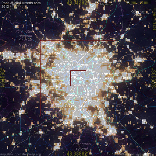
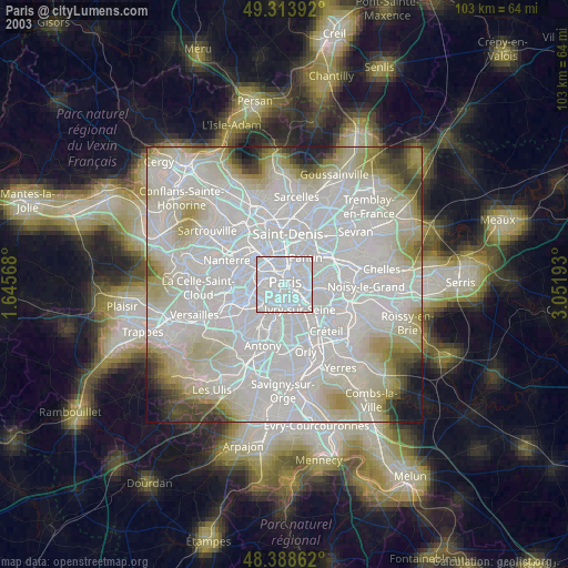
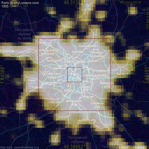
» NASA, Earths city lights 1995
» NASA city lights 2003
» Earth at Night: Flat Maps 2012, 2016
Src.2: Tim Kopra, Twitter/@astro_tim, 2016-03-26