Montrouge night lights from space
Night Light of Montrouge (Île-de-France) from space (France) Src. Average luminocity for 10x10km area is 99.7372% and for 50x50km: 77.5592%.
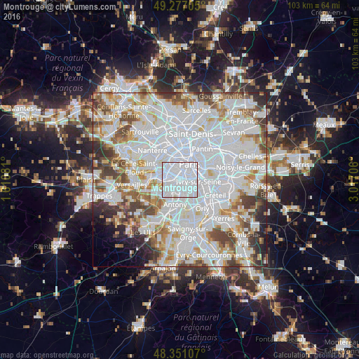
Analysis of Montrouge night lights 2016
Square area 10x10 km:
 87.07%
90-99
12.36%80-89
0.43%70-79
0.14%60-69
0%50-59
0%40-49
0%30-39
0%20-29
0%10-19
0%0-9
0%Square area 50x50 km:
36.77%90-99
20.11%80-89
5.83%70-79
5.4%60-69
5.96%50-59
5.06%40-49
6.08%30-39
4.55%20-29
3.66%10-19
2.38%0-9
4.21%Clear (daylight) street map image can be seen on geolist.org.
Map coordinates:
49° 16' 37.4" North, 1° 36' 38.9" East
48° 48' 58.3" North, 2° 18' 50.1" East
48° 21' 3.9" North, 3° 1' 1.4" East
Some cities around Montrouge sort by population:
• Issy-les-Moulineaux
2.7 km =1.7 mi,  281°
281°
• Bagneux
2.3 km =1.4 mi,  190°
190°
• Châtillon
2.1 km =1.3 mi,  224°
224°
• Malakoff
1.1 km =0.7 mi,  292°
292°
• Cachan
2.8 km =1.7 mi,  143°
143°
• Vanves
1.9 km =1.2 mi, 294°
• Arcueil
2.3 km =1.4 mi, 142°
• Gentilly
2.1 km =1.3 mi,  100°
100°
2992017 (p: 38,708)
Sources (retrieved 2019-11-25):
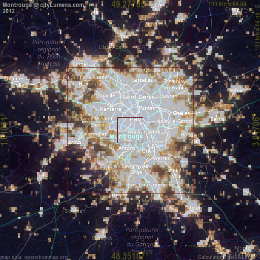
» Earth at Night: Flat Maps 2012, 2016