Malakoff night lights from space
Night Light of Malakoff (Île-de-France) from space (France) Src. Average luminocity for 10x10km area is 99.2401% and for 50x50km: 77.4574%.
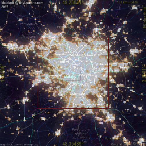
Analysis of Malakoff night lights 2016
Square area 10x10 km:
 80.97%
90-99
16.05%80-89
2.13%70-79
0.85%60-69
0%50-59
0%40-49
0%30-39
0%20-29
0%10-19
0%0-9
0%Square area 50x50 km:
36.78%90-99
20.12%80-89
5.84%70-79
5.4%60-69
5.92%50-59
4.92%40-49
6.09%30-39
4.47%20-29
3.81%10-19
2.07%0-9
4.57%Clear (daylight) street map image can be seen on geolist.org.
Map coordinates:
49° 16' 50.9" North, 1° 35' 48.7" East
48° 49' 12" North, 2° 17' 59.9" East
48° 21' 17.6" North, 3° 0' 11.2" East
Some cities around Malakoff sort by population:
• Issy-les-Moulineaux
1.7 km =1.1 mi,  274°
274°
• Clamart
3.1 km =1.9 mi,  232°
232°
• Bagneux
2.8 km =1.7 mi,  167°
167°
• Montrouge
1.1 km =0.7 mi,  112°
112°
• Châtillon
2 km =1.2 mi,  193°
193°
• Vanves
0.8 km =0.5 mi,  298°
298°
• Fontenay-aux-Roses
3 km =1.9 mi, 190°
• Gentilly
3.2 km =2 mi,  104°
104°
2996514 (p: 29,420)
Sources (retrieved 2019-11-25):
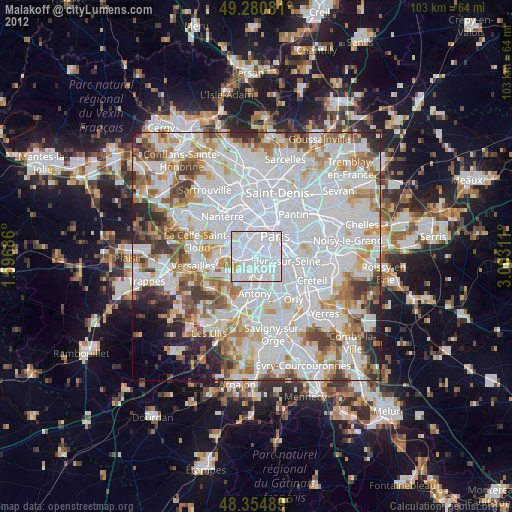
» Earth at Night: Flat Maps 2012, 2016