Bry-sur-Marne night lights from space
Night Light of Bry-sur-Marne (Île-de-France) from space (France) Src. Average luminocity for 10x10km area is 98.4588% and for 50x50km: 67.6234%.
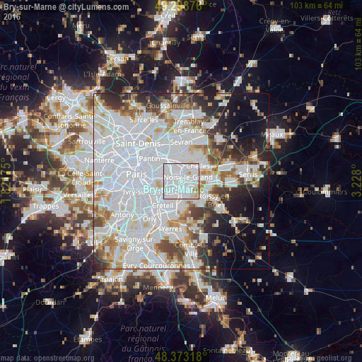
Analysis of Bry-sur-Marne night lights 2016
Square area 10x10 km:
 71.59%
90-99
23.01%80-89
2.84%70-79
1.7%60-69
0.85%50-59
0%40-49
0%30-39
0%20-29
0%10-19
0%0-9
0%Square area 50x50 km:
33.19%90-99
16.36%80-89
4.32%70-79
4.17%60-69
4.56%50-59
3.94%40-49
4.34%30-39
4.42%20-29
6.3%10-19
7.69%0-9
10.7%Clear (daylight) street map image can be seen on geolist.org.
Map coordinates:
49° 17' 55.5" North, 1° 49' 18.3" East
48° 50' 17.2" North, 2° 31' 29.6" East
48° 22' 23.4" North, 3° 13' 40.8" East
Some cities around Bry-sur-Marne sort by population:
• Champigny-sur-Marne
3.3 km =2.1 mi,  223°
223°
• Noisy-le-Grand
3.1 km =1.9 mi,  64°
64°
• Fontenay-sous-Bois
3.6 km =2.2 mi,  300°
300°
• Neuilly-sur-Marne
2.5 km =1.6 mi,  45°
45°
• Le Perreux-sur-Marne
2.2 km =1.4 mi,  305°
305°
• Nogent-sur-Marne
3.1 km =1.9 mi,  267°
267°
• Villiers-sur-Marne
1.9 km =1.2 mi,  114°
114°
• Neuilly-Plaisance
3.1 km =1.9 mi,  333°
333°
3029706 (p: 16,226)
Sources (retrieved 2019-11-25):
» Earth at Night: Flat Maps 2012, 2016