Le Perreux-sur-Marne night lights from space
Night Light of Le Perreux-sur-Marne (Île-de-France) from space (France) Src. Average luminocity for 10x10km area is 99.0568% and for 50x50km: 69.206%.
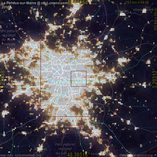
Analysis of Le Perreux-sur-Marne night lights 2016
Square area 10x10 km:
 75.57%
90-99
20.88%80-89
2.7%70-79
0.85%60-69
0%50-59
0%40-49
0%30-39
0%20-29
0%10-19
0%0-9
0%Square area 50x50 km:
33.6%90-99
16.75%80-89
4.64%70-79
4.32%60-69
4.91%50-59
4.22%40-49
4.47%30-39
4.5%20-29
6.33%10-19
8.13%0-9
8.12%Clear (daylight) street map image can be seen on geolist.org.
Map coordinates:
49° 18' 37.9" North, 1° 47' 48.8" East
48° 51' 0" North, 2° 30' 0" East
48° 23' 6.6" North, 3° 12' 11.3" East
Some cities around Le Perreux-sur-Marne sort by population:
• Fontenay-sous-Bois
1.4 km =0.9 mi,  291°
291°
• Rosny-sous-Bois
2.2 km =1.4 mi,  358°
358°
• Neuilly-sur-Marne
3.6 km =2.2 mi,  83°
83°
• Nogent-sur-Marne
2 km =1.2 mi,  220°
220°
• Villemomble
3.7 km =2.3 mi,  0°
0°
• Neuilly-Plaisance
1.6 km =1 mi,  16°
16°
• Joinville-le-Pont
3.3 km =2.1 mi,  214°
214°
• Bry-sur-Marne
2.2 km =1.4 mi,  125°
125°
3002965 (p: 32,015)
Sources (retrieved 2019-11-25):
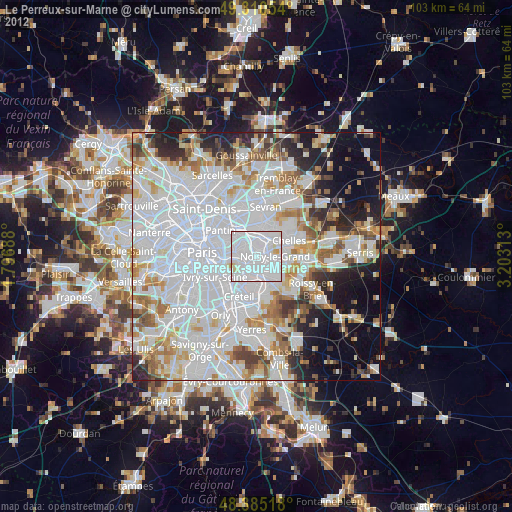
» Earth at Night: Flat Maps 2012, 2016