Champigny-sur-Marne night lights from space
Night Light of Champigny-sur-Marne (Île-de-France) from space (France) Src. Average luminocity for 10x10km area is 98.4134% and for 50x50km: 70.7813%.
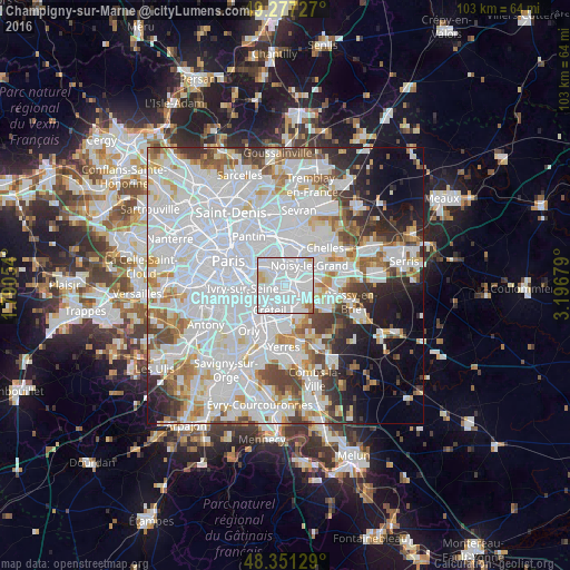
Analysis of Champigny-sur-Marne night lights 2016
Square area 10x10 km:
 75.85%
90-99
18.32%80-89
3.27%70-79
0.85%60-69
1.7%50-59
0%40-49
0%30-39
0%20-29
0%10-19
0%0-9
0%Square area 50x50 km:
34.64%90-99
17.76%80-89
4.65%70-79
4.65%60-69
4.96%50-59
4.05%40-49
4.48%30-39
4.1%20-29
5.15%10-19
6.4%0-9
9.16%Clear (daylight) street map image can be seen on geolist.org.
Map coordinates:
49° 16' 38.2" North, 1° 47' 25.9" East
48° 48' 59.1" North, 2° 29' 37.2" East
48° 21' 4.6" North, 3° 11' 48.4" East
Some cities around Champigny-sur-Marne sort by population:
• Créteil
3.3 km =2.1 mi,  217°
217°
• Saint-Maur-des-Fossés
2.5 km =1.6 mi,  180°
180°
• Maisons-Alfort
4 km =2.5 mi,  262°
262°
• Le Perreux-sur-Marne
3.8 km =2.4 mi,  7°
7°
• Nogent-sur-Marne
2.4 km =1.5 mi,  340°
340°
• Chennevières-sur-Marne
4 km =2.5 mi,  122°
122°
• Joinville-le-Pont
1.7 km =1.1 mi,  305°
305°
• Bry-sur-Marne
3.3 km =2.1 mi,  43°
43°
3027105 (p: 76,726)
Sources (retrieved 2019-11-25):
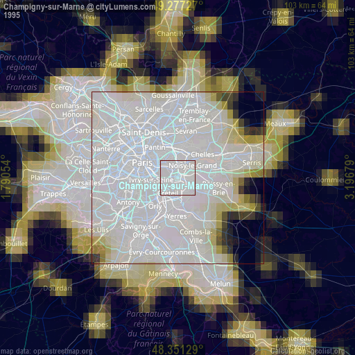
» NASA, Earths city lights 1995
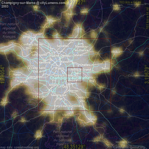
» NASA city lights 2003
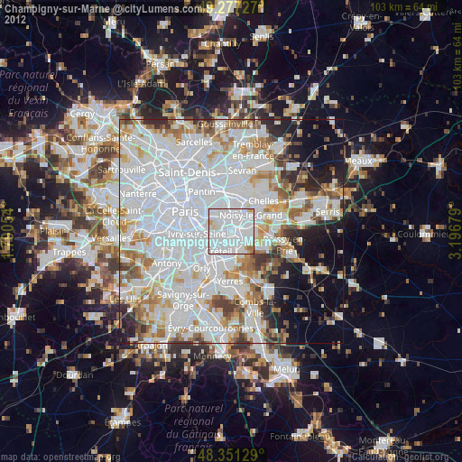
» Earth at Night: Flat Maps 2012, 2016