Nevers night lights from space
Night Light of Nevers (Bourgogne-Franche-Comté) from space (France) Src. Average luminocity for 10x10km area is 32.554% and for 50x50km: 2.551%.
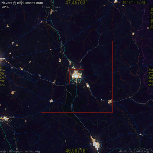
Analysis of Nevers night lights 2016
Square area 10x10 km:
 3.27%
3.27%90-99
7.1%80-89
3.98%70-79
6.82%60-69
3.55%50-59
2.41%40-49
4.12%30-39
3.27%20-29
3.98%10-19
34.52%0-9
26.99%Square area 50x50 km:
0.25%90-99
0.4%80-89
0.25%70-79
0.45%60-69
0.33%50-59
0.23%40-49
0.39%30-39
0.42%20-29
0.44%10-19
1.93%0-9
94.92%Clear (daylight) street map image can be seen on geolist.org.
Map coordinates:
47° 28' 1.3" North, 2° 27' 21.1" East
46° 59' 22.4" North, 3° 9' 32.4" East
46° 30' 28" North, 3° 51' 43.6" East
Some cities around Nevers sort by population:
• Moulins
49.1 km =30.5 mi,  164°
164°
• Yzeure
49.4 km =30.7 mi, 162°
• Saint-Amand-Montrond
57.9 km =36 mi,  239°
239°
• Cosne-Cours-sur-Loire
50.1 km =31.1 mi,  339°
339°
• Varennes-Vauzelles
3.3 km =2.1 mi,  334°
334°
• Decize
29.2 km =18.1 mi,  127°
127°
• La Charité-sur-Loire
24.1 km =15 mi, 333°
• Saint-Germain-du-Puy
52.6 km =32.7 mi,  283°
283°
2990474 (p: 43,988)
Sources (retrieved 2019-11-25):
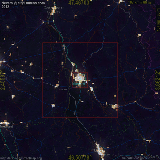
» Earth at Night: Flat Maps 2012, 2016