La Charité-sur-Loire night lights from space
Night Light of La Charité-sur-Loire (Bourgogne-Franche-Comté) from space (France) Src. Average luminocity for 10x10km area is 0.7679% and for 50x50km: 1.9962%.
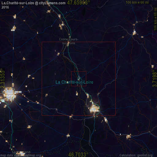
Analysis of La Charité-sur-Loire night lights 2016
Square area 10x10 km:
 0%
0%90-99
0%80-89
0%70-79
0%60-69
0%50-59
0%40-49
0.6%30-39
0.6%20-29
0.89%10-19
0.3%0-9
97.62%Square area 50x50 km:
0.19%90-99
0.34%80-89
0.18%70-79
0.34%60-69
0.29%50-59
0.15%40-49
0.37%30-39
0.26%20-29
0.4%10-19
1.74%0-9
95.74%Clear (daylight) street map image can be seen on geolist.org.
Map coordinates:
47° 39' 32.6" North, 2° 18' 48.8" East
47° 10' 60" North, 3° 1' 0" East
46° 42' 11.9" North, 3° 43' 11.3" East
Some cities around La Charité-sur-Loire sort by population:
• Bourges
48 km =29.8 mi,  256°
256°
• Nevers
24.1 km =15 mi,  153°
153°
• Cosne-Cours-sur-Loire
26.2 km =16.3 mi,  344°
344°
• Varennes-Vauzelles
20.8 km =12.9 mi, 153°
• Saint-Doulchard
51 km =31.7 mi, 260°
• Decize
51.9 km =32.2 mi,  139°
139°
• Briare
54.1 km =33.6 mi, 337°
• Saint-Germain-du-Puy
41.4 km =25.7 mi, 257°
3010201 (p: 5,460)
Sources (retrieved 2019-11-25):
» Earth at Night: Flat Maps 2012, 2016