Decize night lights from space
Night Light of Decize (Bourgogne-Franche-Comté) from space (France) Src. Average luminocity for 10x10km area is 5.5313% and for 50x50km: 1.8223%.
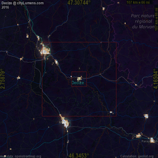
Analysis of Decize night lights 2016
Square area 10x10 km:
 0%
0%90-99
0.6%80-89
0.6%70-79
0.6%60-69
2.23%50-59
1.34%40-49
0%30-39
1.79%20-29
0.89%10-19
0.3%0-9
91.67%Square area 50x50 km:
0.21%90-99
0.32%80-89
0.17%70-79
0.33%60-69
0.23%50-59
0.18%40-49
0.25%30-39
0.22%20-29
0.3%10-19
1.25%0-9
96.53%Clear (daylight) street map image can be seen on geolist.org.
Map coordinates:
47° 18' 26.8" North, 2° 45' 31.6" East
46° 49' 42.7" North, 3° 27' 42.9" East
46° 20' 43.1" North, 4° 9' 54.1" East
Some cities around Decize sort by population:
• Nevers
29.2 km =18.1 mi,  307°
307°
• Moulins
31 km =19.3 mi,  198°
198°
• Yzeure
30.3 km =18.8 mi, 195°
• Varennes-Vauzelles
32.2 km =20 mi, 310°
• Digoin
55.2 km =34.3 mi,  134°
134°
• Gueugnon
52.2 km =32.4 mi,  118°
118°
• Bourbon-Lancy
32.8 km =20.4 mi, 134°
• La Charité-sur-Loire
51.9 km =32.2 mi,  319°
319°
3021661 (p: 6,605)
Sources (retrieved 2019-11-25):
» Earth at Night: Flat Maps 2012, 2016