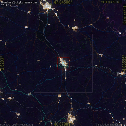
Moulins night lights from space
Night Light of Moulins (Auvergne-Rhône-Alpes) from space (France) Src. Average luminocity for 10x10km area is 26.1321% and for 50x50km: 1.2569%.

Analysis of Moulins night lights 2016
Square area 10x10 km:
 5.11%
5.11%90-99
5.68%80-89
3.13%70-79
2.41%60-69
3.41%50-59
1.56%40-49
0.85%30-39
1.14%20-29
3.55%10-19
33.38%0-9
39.77%Square area 50x50 km:
0.21%90-99
0.23%80-89
0.13%70-79
0.1%60-69
0.18%50-59
0.06%40-49
0.07%30-39
0.12%20-29
0.17%10-19
1.44%0-9
97.29%Clear (daylight) street map image can be seen on geolist.org.
Map coordinates:
47° 2' 45.1" North, 2° 37' 45.5" East
46° 33' 52.5" North, 3° 19' 56.7" East
46° 4' 44.4" North, 4° 2' 8" East
Some cities around Moulins sort by population:
• Nevers
49.1 km =30.5 mi,  344°
344°
• Vichy
49.2 km =30.6 mi,  171°
171°
• Cusset
48.8 km =30.3 mi, 168°
• Saint-François
46.9 km =29.1 mi,  110°
110°
• Yzeure
1.7 km =1.1 mi,  84°
84°
• Decize
31 km =19.3 mi,  18°
18°
• Bourbon-Lancy
34 km =21.1 mi, 79°
• Saint-Pourçain-sur-Sioule
28.8 km =17.9 mi,  186°
186°
2991481 (p: 23,095)
Sources (retrieved 2019-11-25):
» Earth at Night: Flat Maps 2012, 2016