Yzeure night lights from space
Night Light of Yzeure (Auvergne-Rhône-Alpes) from space (France) Src. Average luminocity for 10x10km area is 25.7528% and for 50x50km: 1.2569%.
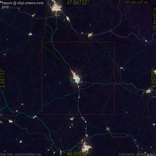
Analysis of Yzeure night lights 2016
Square area 10x10 km:
 5.11%
5.11%90-99
5.68%80-89
3.13%70-79
2.41%60-69
3.41%50-59
1.56%40-49
0.85%30-39
1.14%20-29
3.55%10-19
33.38%0-9
39.77%Square area 50x50 km:
0.21%90-99
0.23%80-89
0.13%70-79
0.1%60-69
0.18%50-59
0.06%40-49
0.07%30-39
0.12%20-29
0.17%10-19
1.44%0-9
97.29%Clear (daylight) street map image can be seen on geolist.org.
Map coordinates:
47° 2' 50" North, 2° 39' 4.8" East
46° 33' 57.5" North, 3° 21' 16.1" East
46° 4' 49.4" North, 4° 3' 27.3" East
Some cities around Yzeure sort by population:
• Vichy
49.1 km =30.5 mi,  173°
173°
• Moulins
1.7 km =1.1 mi,  264°
264°
• Cusset
48.6 km =30.2 mi, 170°
• Saint-François
45.4 km =28.2 mi,  111°
111°
• Digoin
48.7 km =30.3 mi,  101°
101°
• Decize
30.3 km =18.8 mi,  15°
15°
• Bourbon-Lancy
32.3 km =20.1 mi,  78°
78°
• Saint-Pourçain-sur-Sioule
29.2 km =18.1 mi,  189°
189°
2967166 (p: 13,435)
Sources (retrieved 2019-11-25):
» Earth at Night: Flat Maps 2012, 2016