Meaux night lights from space
Night Light of Meaux (Île-de-France) from space (France) Src. Average luminocity for 10x10km area is 35.8452% and for 50x50km: 22.8878%.
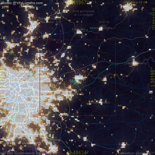
Analysis of Meaux night lights 2016
Square area 10x10 km:
 8.52%
8.52%90-99
7.24%80-89
2.98%70-79
0.99%60-69
4.4%50-59
3.27%40-49
2.98%30-39
1.7%20-29
14.49%10-19
44.89%0-9
8.52%Square area 50x50 km:
5.48%90-99
5.55%80-89
1.98%70-79
1.7%60-69
2.48%50-59
2.49%40-49
2.62%30-39
3.18%20-29
5.28%10-19
10.46%0-9
58.77%Clear (daylight) street map image can be seen on geolist.org.
Map coordinates:
49° 25' 10.8" North, 2° 10' 32.6" East
48° 57' 36.5" North, 2° 52' 43.9" East
48° 29' 46.8" North, 3° 34' 55.1" East
Some cities around Meaux sort by population:
• Lagny-sur-Marne
15.8 km =9.8 mi,  228°
228°
• Claye-Souilly
14.2 km =8.8 mi,  263°
263°
• Thorigny-sur-Marne
14.3 km =8.9 mi,  235°
235°
• Esbly
7.8 km =4.8 mi,  218°
218°
• Nanteuil-lès-Meaux
3.6 km =2.2 mi,  159°
159°
• Saint-Pathus
13.7 km =8.5 mi,  334°
334°
• Trilport
5.3 km =3.3 mi,  93°
93°
• Quincy-Voisins
6.6 km =4.1 mi,  182°
182°
2994798 (p: 53,811)
Sources (retrieved 2019-11-25):
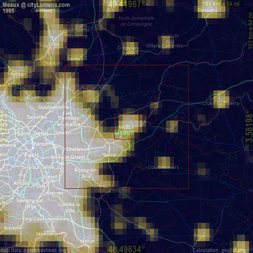
» NASA, Earths city lights 1995
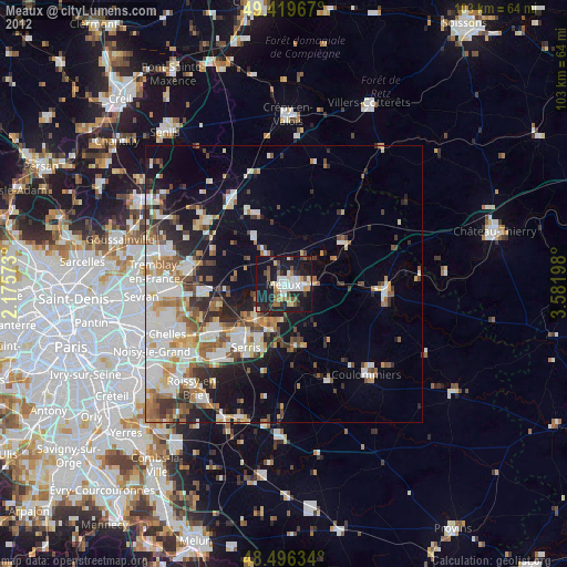
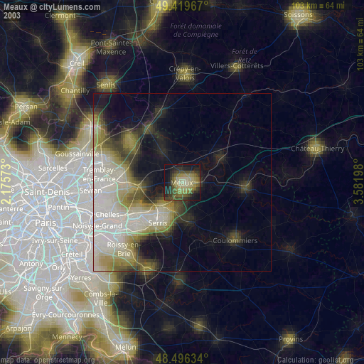
» NASA city lights 2003
» Earth at Night: Flat Maps 2012, 2016