Nanteuil-lès-Meaux night lights from space
Night Light of Nanteuil-lès-Meaux (Île-de-France) from space (France) Src. Average luminocity for 10x10km area is 37.3068% and for 50x50km: 22.1383%.
Analysis of Nanteuil-lès-Meaux night lights 2016
Square area 10x10 km:
 9.09%
9.09%90-99
8.95%80-89
2.41%70-79
2.56%60-69
3.84%50-59
3.41%40-49
2.7%30-39
1.7%20-29
15.91%10-19
33.38%0-9
16.05%Square area 50x50 km:
4.81%90-99
5.31%80-89
1.98%70-79
1.71%60-69
2.5%50-59
2.5%40-49
2.63%30-39
3.18%20-29
5.5%10-19
11.12%0-9
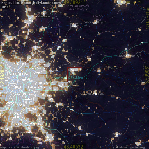
58.76%Clear (daylight) street map image can be seen on geolist.org.
Map coordinates:
49° 23' 21.2" North, 2° 11' 34.1" East
48° 55' 45.8" North, 2° 53' 45.4" East
48° 27' 55.2" North, 3° 35' 56.6" East
Some cities around Nanteuil-lès-Meaux sort by population:
• Meaux
3.6 km =2.2 mi,  339°
339°
• Lagny-sur-Marne
14.8 km =9.2 mi,  241°
241°
• Claye-Souilly
15.5 km =9.6 mi,  276°
276°
• Thorigny-sur-Marne
13.8 km =8.6 mi,  250°
250°
• Saint-Thibault-des-Vignes
17 km =10.6 mi, 247°
• Esbly
6.7 km =4.2 mi, 246°
• Trilport
5 km =3.1 mi,  52°
52°
• Quincy-Voisins
3.5 km =2.2 mi,  205°
205°
2990957 (p: 5,499)
Sources (retrieved 2019-11-25):
» Earth at Night: Flat Maps 2012, 2016