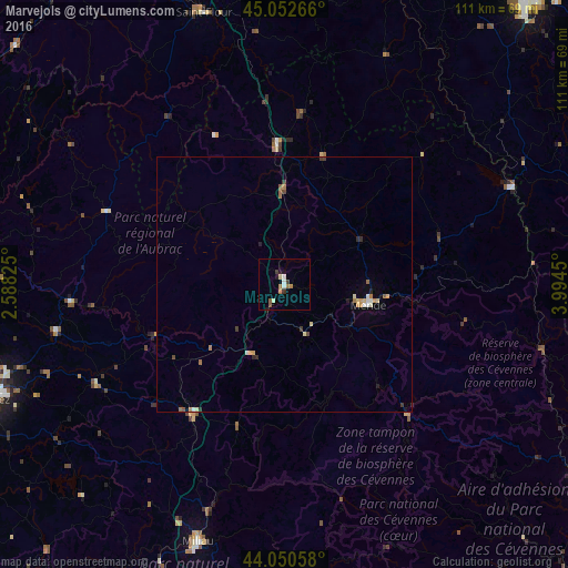
Marvejols night lights from space
Night Light of Marvejols (Occitanie) from space (France) Src. Average luminocity for 10x10km area is 7.4273% and for 50x50km: 1.3556%.
Analysis of Marvejols night lights 2016
Square area 10x10 km:
 0.76%
0.76%90-99
1.52%80-89
0.76%70-79
0%60-69
2.42%50-59
0.76%40-49
0.61%30-39
1.67%20-29
0.45%10-19
0.91%0-9
90.15%Square area 50x50 km:
0.08%90-99
0.2%80-89
0.21%70-79
0.16%60-69
0.32%50-59
0.13%40-49
0.12%30-39
0.26%20-29
0.18%10-19
0.19%0-9
98.16%Clear (daylight) street map image can be seen on geolist.org.
Map coordinates:
45° 3' 9.6" North, 2° 35' 17.7" East
44° 33' 13.6" North, 3° 17' 28.9" East
44° 3' 2.1" North, 3° 59' 40.2" East
Some cities around Marvejols sort by population:
• Rodez
61.2 km =38 mi,  248°
248°
• Millau
53.5 km =33.2 mi,  198°
198°
• Le Puy-en-Velay
71.8 km =44.6 mi,  40°
40°
• Mende
17.3 km =10.7 mi,  103°
103°
• Saint-Affrique
73.8 km =45.9 mi,  205°
205°
• Saint-Flour
55.6 km =34.5 mi,  343°
343°
• Arpajon-sur-Cère
76.6 km =47.6 mi,  300°
300°
• Luc-la-Primaube
65.6 km =40.8 mi, 246°
2995339 (p: 6,086)
Sources (retrieved 2019-11-25):
» Earth at Night: Flat Maps 2012, 2016